

Schilift Goas - Bisonranch
A cycling route starting in Hollabrunn, Lower Austria, Austria.
Overview
About this route
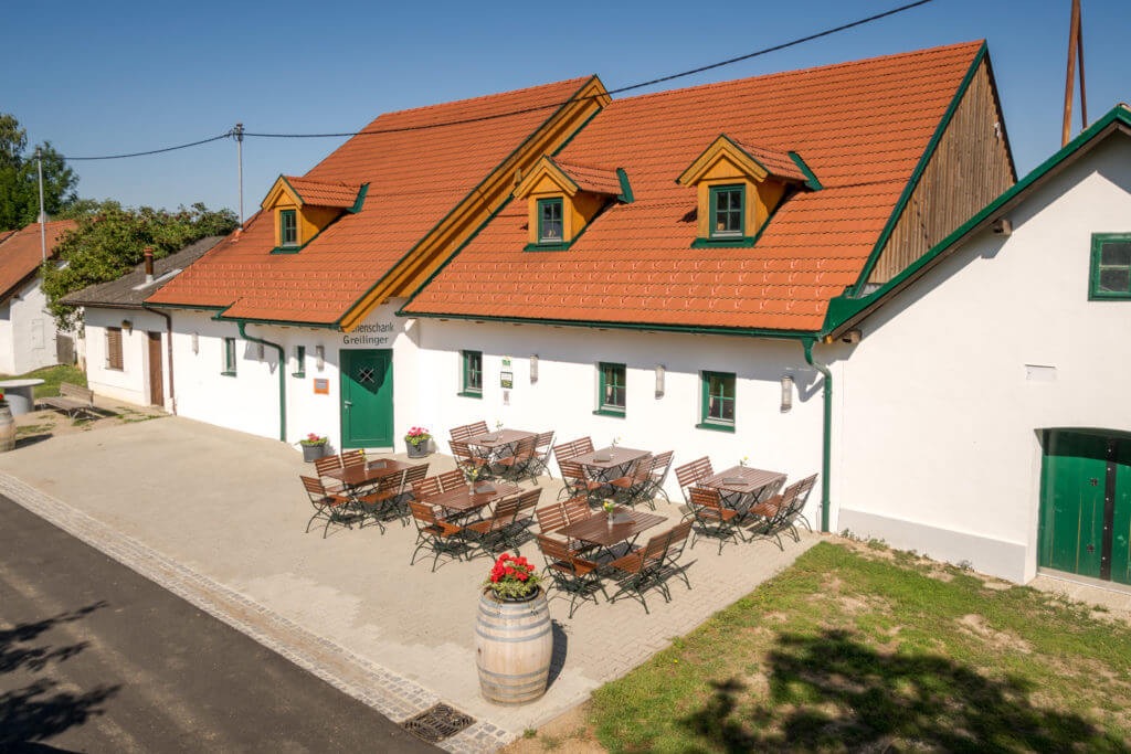
Vom Stadtzentrum Hollabrunn (Bahnstraße Radschmiede) über Oberfellabrunn (Heurigenwirt) und den Schilift Goas nach Rohrbach, weiter zum Bisonpass mit Weinbrunnen und entlang der Bisonranch zum Heldenbergweg. Über Groß Weikersdorf (Wirt zum Einkehren) weiter nach Ameistal und eine kleine Bergwertung zur Höhe oberhalb Puch. Dann in einen Waldlehrpfad einbiegen, herrliche Waldstrecke bis vor Sonnberg, dann noch über den Berg nach Wolfsbrunn und entlang einer entspannten Schotterstrecke zurück in die Bezirksstadt Hollabrunn.
- -:--
- Duration
- 41.5 km
- Distance
- 355 m
- Ascent
- 356 m
- Descent
- ---
- Avg. speed
- ---
- Avg. speed

Route quality
Waytypes & surfaces along the route
Waytypes
Track
22.3 km
(54 %)
Road
8.8 km
(21 %)
Surfaces
Paved
18.4 km
(44 %)
Unpaved
8.3 km
(20 %)
Asphalt
17.9 km
(43 %)
Ground
5.8 km
(14 %)
Continue with Bikemap
Use, edit, or download this cycling route
You would like to ride Schilift Goas - Bisonranch or customize it for your own trip? Here is what you can do with this Bikemap route:
Free features
- Save this route as favorite or in collections
- Copy & plan your own version of this route
- Sync your route with Garmin or Wahoo
Premium features
Free trial for 3 days, or one-time payment. More about Bikemap Premium.
- Navigate this route on iOS & Android
- Export a GPX / KML file of this route
- Create your custom printout (try it for free)
- Download this route for offline navigation
Discover more Premium features.
Get Bikemap PremiumFrom our community
Other popular routes starting in Hollabrunn
 Donnerstag: Suttenbrunn - Mailberg - Alberndorf - Schöngrabern
- Distance
- 70.8 km
- Ascent
- 403 m
- Descent
- 400 m
- Location
- Hollabrunn, Lower Austria, Austria
 hollabrunn-marchegg
- Distance
- 103.4 km
- Ascent
- 385 m
- Descent
- 461 m
- Location
- Hollabrunn, Lower Austria, Austria
 Leichte Weinviertelrunde
- Distance
- 170.9 km
- Ascent
- 1,045 m
- Descent
- 1,045 m
- Location
- Hollabrunn, Lower Austria, Austria
 Abendtour
- Distance
- 27.8 km
- Ascent
- 245 m
- Descent
- 253 m
- Location
- Hollabrunn, Lower Austria, Austria
 Mittwoch: Kellertrift Heuriger Loiskandl
- Distance
- 13.5 km
- Ascent
- 85 m
- Descent
- 83 m
- Location
- Hollabrunn, Lower Austria, Austria
 MTB Aspersdorf NF
- Distance
- 22.3 km
- Ascent
- 243 m
- Descent
- 242 m
- Location
- Hollabrunn, Lower Austria, Austria
 Rivanerweg lt Radwegauszeichnung
- Distance
- 54.8 km
- Ascent
- 396 m
- Descent
- 397 m
- Location
- Hollabrunn, Lower Austria, Austria
 Freitag: Suttenbrunn - Znaim🇨🇿 - Hl. Stein -Retz - Sandberg
- Distance
- 90.9 km
- Ascent
- 884 m
- Descent
- 882 m
- Location
- Hollabrunn, Lower Austria, Austria
Open it in the app