

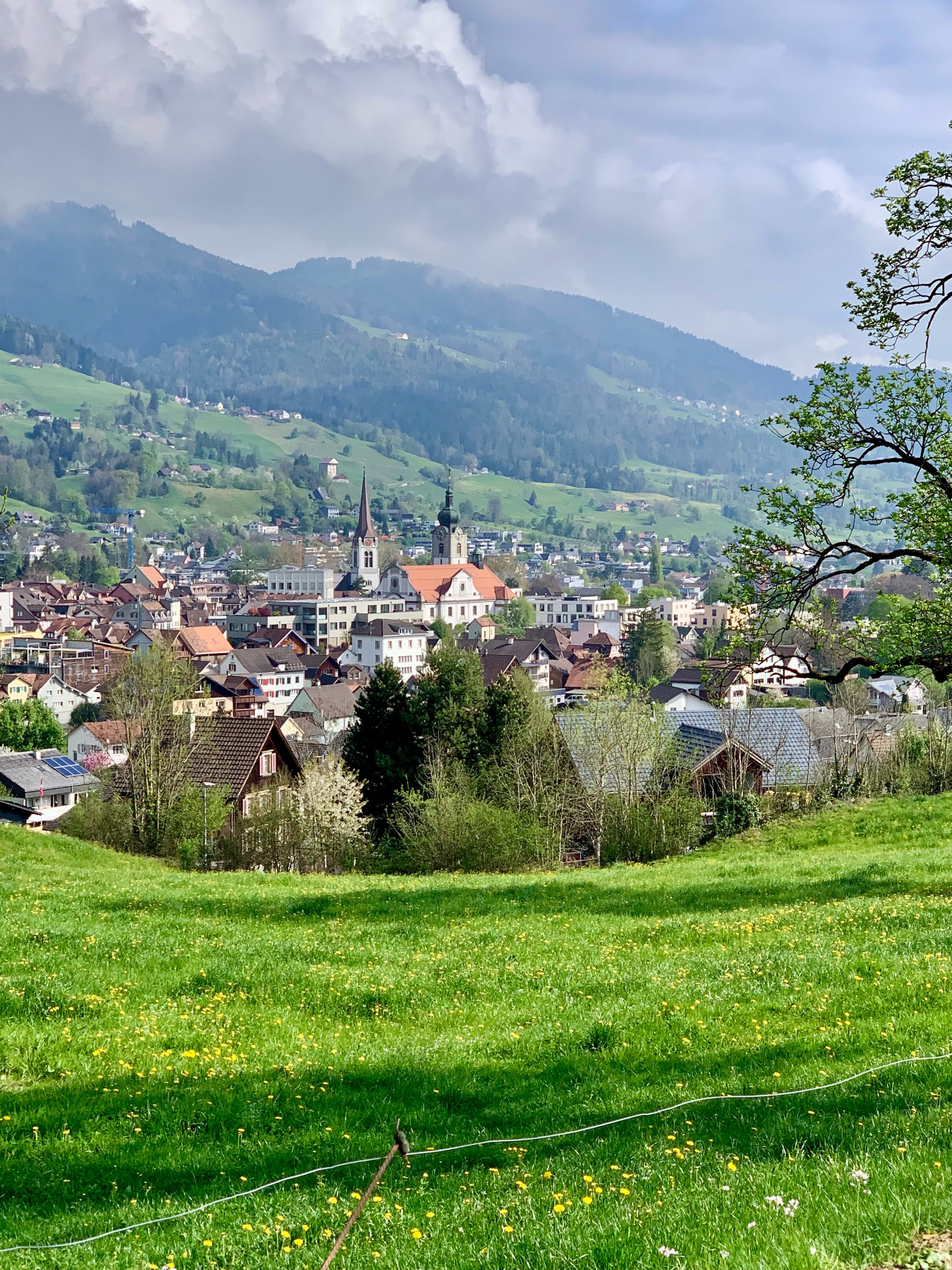
Rund um den Alpstein
A cycling route starting in Appenzell, Appenzell Innerrhoden, Switzerland.
Overview
About this route
Ab Appenzell Veloland Schweiz Schildern 4 folgen. Ab Bächli Nr 75. Ab Nesslau Nr 95. Ab Werdenberg Nr 2/9. In Oberriet links Richtung Kobelwald und da auf Nr 99.
- -:--
- Duration
- 97.3 km
- Distance
- 1,390 m
- Ascent
- 1,389 m
- Descent
- ---
- Avg. speed
- ---
- Avg. speed

Route quality
Waytypes & surfaces along the route
Waytypes
Quiet road
40.5 km
(42 %)
Road
24.4 km
(25 %)
Surfaces
Paved
86.8 km
(89 %)
Unpaved
4.5 km
(5 %)
Asphalt
85.6 km
(88 %)
Gravel
3.5 km
(4 %)
Continue with Bikemap
Use, edit, or download this cycling route
You would like to ride Rund um den Alpstein or customize it for your own trip? Here is what you can do with this Bikemap route:
Free features
- Save this route as favorite or in collections
- Copy & plan your own version of this route
- Sync your route with Garmin or Wahoo
Premium features
Free trial for 3 days, or one-time payment. More about Bikemap Premium.
- Navigate this route on iOS & Android
- Export a GPX / KML file of this route
- Create your custom printout (try it for free)
- Download this route for offline navigation
Discover more Premium features.
Get Bikemap PremiumFrom our community
Other popular routes starting in Appenzell
 TEST 1
- Distance
- 16.7 km
- Ascent
- 570 m
- Descent
- 558 m
- Location
- Appenzell, Appenzell Innerrhoden, Switzerland
 Brülisau - Kamor - Hoher Kasten - Brülisau
- Distance
- 10.5 km
- Ascent
- 980 m
- Descent
- 980 m
- Location
- Appenzell, Appenzell Innerrhoden, Switzerland
 @x∫?? nach @x∫??
- Distance
- 29.6 km
- Ascent
- 774 m
- Descent
- 1,145 m
- Location
- Appenzell, Appenzell Innerrhoden, Switzerland
 Bike Strecke App-Lehmen-Blattendürren CLONED FROM ROUTE 994901
- Distance
- 41.2 km
- Ascent
- 1,057 m
- Descent
- 1,057 m
- Location
- Appenzell, Appenzell Innerrhoden, Switzerland
 Appenzell-E'standen-Schwamm-Ruhsitz-Brülisau-Appenzell
- Distance
- 22.6 km
- Ascent
- 894 m
- Descent
- 767 m
- Location
- Appenzell, Appenzell Innerrhoden, Switzerland
 Alpine Tour: Appenzell - Romanshorn
- Distance
- 67 km
- Ascent
- 799 m
- Descent
- 1,171 m
- Location
- Appenzell, Appenzell Innerrhoden, Switzerland
 9-Appenzell-Romanshorn-76km-1370Hm 001
- Distance
- 76.8 km
- Ascent
- 1,973 m
- Descent
- 2,348 m
- Location
- Appenzell, Appenzell Innerrhoden, Switzerland
 Versuch I
- Distance
- 10.1 km
- Ascent
- 531 m
- Descent
- 536 m
- Location
- Appenzell, Appenzell Innerrhoden, Switzerland
Open it in the app