Premium Badge Download on the App Store Get it on Google Play Turn-by-turn Navigation Offline Maps Bike Type Optimized Routing Premium Maps Custom Bike Computer Export Routes Route Previews Fall Detection Premium Support

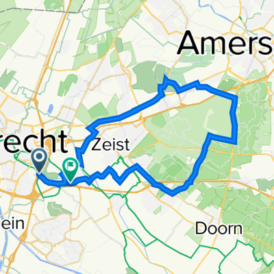
Cycling Route in Lunetten, Provincie Utrecht, Netherlands

2X Amerongse Berg

1
Open this route in the Bikemap app

Open this route in the Bikemap app

Open this route in Bikemap Web

Open this route in Bikemap Web

75 km
Distance
196 m
Ascent
197 m
Descent
-:-- h
Duration
-- km/h
Avg. Speed
--- m
Max. Elevation

About This Route

Utrecht Hoograven - Lunetten - Odijk - Langbroekerdijk - Gooijerdijk - Sandenburgerlaan - Rijksstraatweg - Leersum - Amerongen - Amerongse Berg vanaf zuidkant - keerpunt spoor Haarweg - Amerongse Berg vanaf noordkant - Rijksstraatweg - Kaapse Bossen (Hoogstraat en Maarsbergseweg) - Doorn - Driebergen - Rijsenburgselaan - Odijk - Lunetten - Hoograven.

This cycling route is ideal for: Road bike

You will cycle on the following surfaces: Paved

Customize this cycling route with the Bikemap route planner.

Make it yours!

Did you know? You can use this route as a template in our cycling route planner if you don't wish to start from scratch. Customize it based on your needs to plan your perfect cycling tour.

Open it in the app