Premium Badge Download on the App Store Get it on Google Play Turn-by-turn Navigation Offline Maps Bike Type Optimized Routing Premium Maps Custom Bike Computer Export Routes Route Previews Fall Detection Premium Support

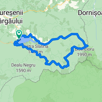
Cycling Route in Tureac, Judeţul Bistriţa-Năsăud, Romania

Terha

0
Open this route in the Bikemap app

Open this route in the Bikemap app

Open this route in Bikemap Web

Open this route in Bikemap Web

66 km
Distance
939 m
Ascent
1177 m
Descent
-:-- h
Duration
-- km/h
Avg. Speed
--- m
Max. Elevation

About This Route

Valea Strajii-Piatra fantanele-Dornisoara-Saua Terha-Izvorul Lung-Mita-Colibita-Bistrita Bargaului


Foarte mult noroi intra Dornisoara si Terha din cauza exploatarilor forestiere.


Urcarea din forestier pana pe Terha push-bike, pe drum de taf, pe uscat ar merge facuta si pe bike.


Din Terha pana in drumul forestier Izvorul Lung exista o portiune de aprox 200-300 m de coborare pe langa bicicleta pe cursul apei, pe urma o poteca extrem de interesanta pe cateva sute de metri.


Traseul trece pe langa un izvor cu apa minerala carbogazoasa (la Borcut).


This cycling route is ideal for: MTB

You will cycle on the following surfaces: Paved Unpaved Gravel

Customize this cycling route with the Bikemap route planner.

Make it yours!

Did you know? You can use this route as a template in our cycling route planner if you don't wish to start from scratch. Customize it based on your needs to plan your perfect cycling tour.

Open it in the app