
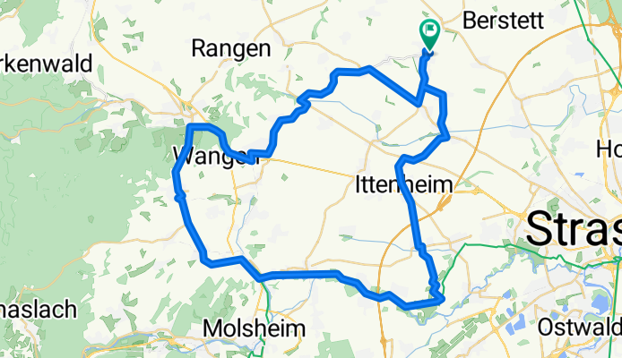
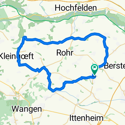
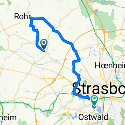
Kochersberg - Les vignes - la Bruche
A cycling route starting in Truchtersheim, Alsace-Champagne-Ardenne-Lorraine, France.
Overview
About this route
Balade tranquille - piste cyclable - Quelques belles côtes.
- -:--
- Duration
- 56.2 km
- Distance
- 389 m
- Ascent
- 389 m
- Descent
- ---
- Avg. speed
- ---
- Avg. speed
Route quality
Waytypes & surfaces along the route
Waytypes
Busy road
16.2 km
(29 %)
Road
15.8 km
(28 %)
Surfaces
Paved
17.3 km
(31 %)
Unpaved
1.2 km
(2 %)
Asphalt
16.1 km
(29 %)
Paved (undefined)
1.1 km
(2 %)
Continue with Bikemap
Use, edit, or download this cycling route
You would like to ride Kochersberg - Les vignes - la Bruche or customize it for your own trip? Here is what you can do with this Bikemap route:
Free features
- Save this route as favorite or in collections
- Copy & plan your own version of this route
- Sync your route with Garmin or Wahoo
Premium features
Free trial for 3 days, or one-time payment. More about Bikemap Premium.
- Navigate this route on iOS & Android
- Export a GPX / KML file of this route
- Create your custom printout (try it for free)
- Download this route for offline navigation
Discover more Premium features.
Get Bikemap PremiumFrom our community
Other popular routes starting in Truchtersheim
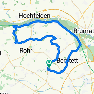 50 Km Kochersberg
- Distance
- 48.9 km
- Ascent
- 272 m
- Descent
- 272 m
- Location
- Truchtersheim, Alsace-Champagne-Ardenne-Lorraine, France
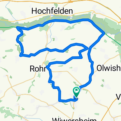 Kochersberg -plat et côtes - Variante
- Distance
- 48.4 km
- Ascent
- 362 m
- Descent
- 361 m
- Location
- Truchtersheim, Alsace-Champagne-Ardenne-Lorraine, France
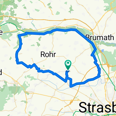 Kochersberg
- Distance
- 64.3 km
- Ascent
- 248 m
- Descent
- 248 m
- Location
- Truchtersheim, Alsace-Champagne-Ardenne-Lorraine, France
 Boucle Kochersberg 44km
- Distance
- 43.8 km
- Ascent
- 341 m
- Descent
- 343 m
- Location
- Truchtersheim, Alsace-Champagne-Ardenne-Lorraine, France
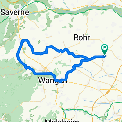 Truch - Marmoutier - Truch 50 km
- Distance
- 51.3 km
- Ascent
- 372 m
- Descent
- 372 m
- Location
- Truchtersheim, Alsace-Champagne-Ardenne-Lorraine, France
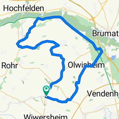 Canal Marne au Rhin - Truch
- Distance
- 40 km
- Ascent
- 268 m
- Descent
- 269 m
- Location
- Truchtersheim, Alsace-Champagne-Ardenne-Lorraine, France
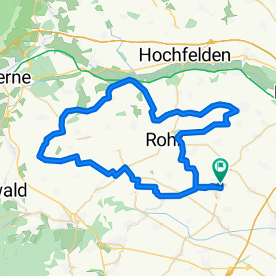 Kochersberg - entrainement côtes
- Distance
- 57 km
- Ascent
- 485 m
- Descent
- 485 m
- Location
- Truchtersheim, Alsace-Champagne-Ardenne-Lorraine, France
 1 Route de Schnersheim, Wiwersheim à 75 Rue d'Ostwald, Strasbourg
- Distance
- 32.4 km
- Ascent
- 521 m
- Descent
- 561 m
- Location
- Truchtersheim, Alsace-Champagne-Ardenne-Lorraine, France
Open it in the app