
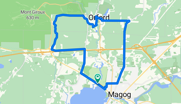
Mont Orford - piste cyclable
A cycling route starting in Magog, Quebec, Canada.
Overview
About this route
- 1 h 18 min
- Duration
- 20.9 km
- Distance
- 293 m
- Ascent
- 287 m
- Descent
- 16.1 km/h
- Avg. speed
- ---
- Avg. speed
Continue with Bikemap
Use, edit, or download this cycling route
You would like to ride Mont Orford - piste cyclable or customize it for your own trip? Here is what you can do with this Bikemap route:
Free features
- Save this route as favorite or in collections
- Copy & plan your own version of this route
- Sync your route with Garmin or Wahoo
Premium features
Free trial for 3 days, or one-time payment. More about Bikemap Premium.
- Navigate this route on iOS & Android
- Export a GPX / KML file of this route
- Create your custom printout (try it for free)
- Download this route for offline navigation
Discover more Premium features.
Get Bikemap PremiumFrom our community
Other popular routes starting in Magog
 tour lac Magog
- Distance
- 50.1 km
- Ascent
- 483 m
- Descent
- 484 m
- Location
- Magog, Quebec, Canada
 Eastman-stetienne-bolton
- Distance
- 27 km
- Ascent
- 150 m
- Descent
- 150 m
- Location
- Magog, Quebec, Canada
 Parcours_Georgesville CLONED FROM ROUTE 146693
- Distance
- 75.6 km
- Ascent
- 654 m
- Descent
- 654 m
- Location
- Magog, Quebec, Canada
 Défi VQ 2011-3 Cantons de l'est
- Distance
- 153.2 km
- Ascent
- 954 m
- Descent
- 954 m
- Location
- Magog, Quebec, Canada
 Magog Ayer's Clifff
- Distance
- 57 km
- Ascent
- 590 m
- Descent
- 592 m
- Location
- Magog, Quebec, Canada
 AYERSCLIFF STANSTEAD LOOP
- Distance
- 45.7 km
- Ascent
- 340 m
- Descent
- 340 m
- Location
- Magog, Quebec, Canada
 Eastman et la passe de Bolton
- Distance
- 62 km
- Ascent
- 283 m
- Descent
- 283 m
- Location
- Magog, Quebec, Canada
 Par Lovering
- Distance
- 21 km
- Ascent
- 166 m
- Descent
- 169 m
- Location
- Magog, Quebec, Canada
Open it in the app