
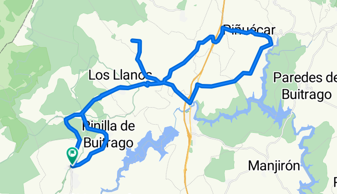
gargantilla - 44k sube/baja
A cycling route starting in Villavieja del Lozoya, Madrid, Spain.
Overview
About this route
- -:--
- Duration
- 43.7 km
- Distance
- 579 m
- Ascent
- 575 m
- Descent
- ---
- Avg. speed
- ---
- Avg. speed
Route quality
Waytypes & surfaces along the route
Waytypes
Road
41.4 km
(95 %)
Cycleway
1.2 km
(3 %)
Quiet road
1.1 km
(2 %)
Surfaces
Paved
28.2 km
(65 %)
Asphalt
15.3 km
(35 %)
Paved (undefined)
12.9 km
(30 %)
Undefined
15.5 km
(35 %)
Continue with Bikemap
Use, edit, or download this cycling route
You would like to ride gargantilla - 44k sube/baja or customize it for your own trip? Here is what you can do with this Bikemap route:
Free features
- Save this route as favorite or in collections
- Copy & plan your own version of this route
- Sync your route with Garmin or Wahoo
Premium features
Free trial for 3 days, or one-time payment. More about Bikemap Premium.
- Navigate this route on iOS & Android
- Export a GPX / KML file of this route
- Create your custom printout (try it for free)
- Download this route for offline navigation
Discover more Premium features.
Get Bikemap PremiumFrom our community
Other popular routes starting in Villavieja del Lozoya
 CIRCULAR LAS CABEZAS MADRID
- Distance
- 20.2 km
- Ascent
- 650 m
- Descent
- 650 m
- Location
- Villavieja del Lozoya, Madrid, Spain
 Lozoya-Rascafría-Navacerrada-Navafría-Lozoya
- Distance
- 125.4 km
- Ascent
- 1,537 m
- Descent
- 1,507 m
- Location
- Villavieja del Lozoya, Madrid, Spain
 Villavieja de Lozoya-Pto. Linera
- Distance
- 46.4 km
- Ascent
- 925 m
- Descent
- 921 m
- Location
- Villavieja del Lozoya, Madrid, Spain
 PinillaBuitrago GargantaMontes Hermita Santa Ana
- Distance
- 74.2 km
- Ascent
- 528 m
- Descent
- 528 m
- Location
- Villavieja del Lozoya, Madrid, Spain
 Easy ride in Gascones
- Distance
- 1.7 km
- Ascent
- 42 m
- Descent
- 13 m
- Location
- Villavieja del Lozoya, Madrid, Spain
 Villavieja de Lozoya-Chorrera de San Mamés
- Distance
- 22 km
- Ascent
- 747 m
- Descent
- 747 m
- Location
- Villavieja del Lozoya, Madrid, Spain
 tri km0 buitrago de lozoya_San Lorenzo del Escorial
- Distance
- 112.2 km
- Ascent
- 2,037 m
- Descent
- 2,026 m
- Location
- Villavieja del Lozoya, Madrid, Spain
 gargantilla - 37k sube/baja
- Distance
- 36.8 km
- Ascent
- 437 m
- Descent
- 433 m
- Location
- Villavieja del Lozoya, Madrid, Spain
Open it in the app