Premium Badge Download on the App Store Get it on Google Play Turn-by-turn Navigation Offline Maps Bike Type Optimized Routing Premium Maps Custom Bike Computer Export Routes Route Previews Fall Detection Premium Support

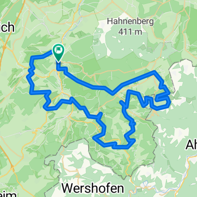
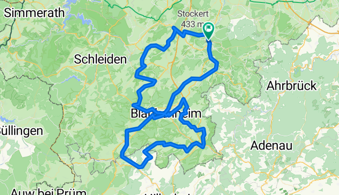
Cycling Route in Bad Münstereifel, North Rhine-Westphalia, Germany

Eifeltour II

0
Open this route in the Bikemap app

Open this route in the Bikemap app

Open this route in Bikemap Web

Open this route in Bikemap Web

122 km
Distance
1002 m
Ascent
1002 m
Descent
-:-- h
Duration
-- km/h
Avg. Speed
--- m
Max. Elevation

About This Route

Über Bad Münstereifel in Richtung Mechernich (Eschweiler K45). In Breitenbenden den Eifel-Höhenweg (EHW) folgen. In Dahlem den EHW in Richtung Blankenheim verlassen. In Blankenheim die Römerstraße zur Erftquelle folgen (ein Teilstück ist nicht asphaltiert ca. 2km). Von der Erftquelle zurück nach Bad Münstereifel.

Die Tour folgt dem Streckenverlauf des EHW. Da die Tour fürs RR geplant ist, sind nichtasphaltierte Strecken vom EHW umfahren.

This cycling route is ideal for: Road bike

You will cycle on the following surfaces: Paved

Customize this cycling route with the Bikemap route planner.

Make it yours!

Did you know? You can use this route as a template in our cycling route planner if you don't wish to start from scratch. Customize it based on your needs to plan your perfect cycling tour.

Open it in the app