
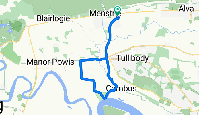
Easy ride in Menstrie
A cycling route starting in Menstrie, Scotland, United Kingdom.
Overview
About this route
- 59 min
- Duration
- 9.3 km
- Distance
- 0 m
- Ascent
- 8 m
- Descent
- 9.5 km/h
- Avg. speed
- ---
- Avg. speed

Route quality
Waytypes & surfaces along the route
Waytypes
Cycleway
6.7 km
(72 %)
Track
1.3 km
(14 %)
Surfaces
Paved
6.1 km
(65 %)
Unpaved
1.3 km
(14 %)
Asphalt
6.1 km
(65 %)
Gravel
1.3 km
(14 %)
Undefined
2 km
(21 %)
Continue with Bikemap
Use, edit, or download this cycling route
You would like to ride Easy ride in Menstrie or customize it for your own trip? Here is what you can do with this Bikemap route:
Free features
- Save this route as favorite or in collections
- Copy & plan your own version of this route
- Sync your route with Garmin or Wahoo
Premium features
Free trial for 3 days, or one-time payment. More about Bikemap Premium.
- Navigate this route on iOS & Android
- Export a GPX / KML file of this route
- Create your custom printout (try it for free)
- Download this route for offline navigation
Discover more Premium features.
Get Bikemap PremiumFrom our community
Other popular routes starting in Menstrie
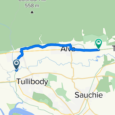
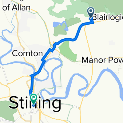 Stirling North Ward, Stirling to Caffe Nero, 2 Port St, Stirling
- Distance
- 5.5 km
- Ascent
- 53 m
- Descent
- 43 m
- Location
- Menstrie, Scotland, United Kingdom
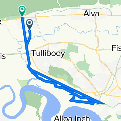
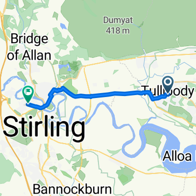 2–6 Delph Road, Tullibody, Alloa to Raploch Community Campus, Drip Road, Stirling
- Distance
- 8.4 km
- Ascent
- 22 m
- Descent
- 44 m
- Location
- Menstrie, Scotland, United Kingdom
 Hillfoots Road nach Ardconnel Road 6
- Distance
- 144 km
- Ascent
- 1,525 m
- Descent
- 1,528 m
- Location
- Menstrie, Scotland, United Kingdom
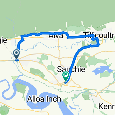
 Route to A91, Alva
- Distance
- 6.5 km
- Ascent
- 80 m
- Descent
- 81 m
- Location
- Menstrie, Scotland, United Kingdom
 Blackthorn Grove 62 to Main Street West 36
- Distance
- 16.5 km
- Ascent
- 142 m
- Descent
- 129 m
- Location
- Menstrie, Scotland, United Kingdom
 Unnamed Road to High Street 129
- Distance
- 6.4 km
- Ascent
- 32 m
- Descent
- 22 m
- Location
- Menstrie, Scotland, United Kingdom
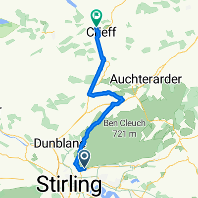
 Tullibody to Alloa via Alva
- Distance
- 14.6 km
- Ascent
- 108 m
- Descent
- 158 m
- Location
- Menstrie, Scotland, United Kingdom
 Route 2
- Distance
- 39.8 km
- Ascent
- 541 m
- Descent
- 494 m
- Location
- Menstrie, Scotland, United Kingdom
Open it in the app