Cycling Route in Jasło, Subcarpathian Voivodeship, Poland
Trasa
1

Open this route in the Bikemap app

Open this route in Bikemap Web
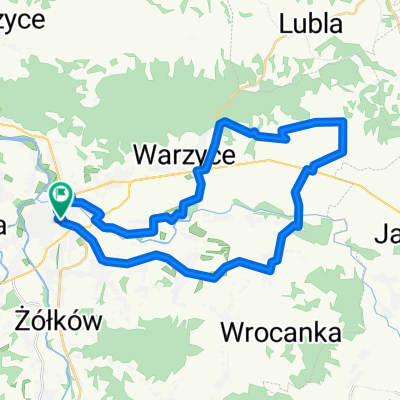
22
km
Distance
Distance
575
m
Ascent
Ascent
90
m
Descent
Descent
-:--
h
Duration
Duration
--
km/h
Avg. Speed
Avg. Speed
---
m
Max. Elevation
Max. Elevation