Cycling Route in Železná Ruda, Plzeňský kraj, Czechia
Trans Šumava 2010 4. den Železná Ruda
1

Open this route in the Bikemap app

Open this route in Bikemap Web
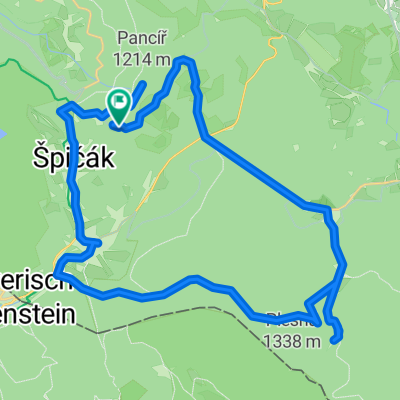
41
km
Distance
Distance
1099
m
Ascent
Ascent
1096
m
Descent
Descent
-:--
h
Duration
Duration
--
km/h
Avg. Speed
Avg. Speed
---
m
Max. Elevation
Max. Elevation