

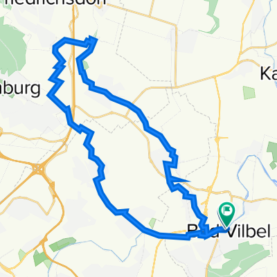
Flughafentour 2020 - Biker GN
A cycling route starting in Bad Vilbel, Hesse, Germany.
Overview
About this route
- -:--
- Duration
- 78.3 km
- Distance
- 179 m
- Ascent
- 178 m
- Descent
- ---
- Avg. speed
- ---
- Avg. speed

Route quality
Waytypes & surfaces along the route
Waytypes
Track
21.7 km
(28 %)
Path
18.1 km
(23 %)
Surfaces
Paved
55.5 km
(71 %)
Unpaved
19.9 km
(25 %)
Asphalt
51.6 km
(66 %)
Gravel
12.9 km
(16 %)
Route highlights
Points of interest along the route

Point of interest after 33.3 km
Gundhof - Mittag essen
Continue with Bikemap
Use, edit, or download this cycling route
You would like to ride Flughafentour 2020 - Biker GN or customize it for your own trip? Here is what you can do with this Bikemap route:
Free features
- Save this route as favorite or in collections
- Copy & plan your own version of this route
- Sync your route with Garmin or Wahoo
Premium features
Free trial for 3 days, or one-time payment. More about Bikemap Premium.
- Navigate this route on iOS & Android
- Export a GPX / KML file of this route
- Create your custom printout (try it for free)
- Download this route for offline navigation
Discover more Premium features.
Get Bikemap PremiumFrom our community
Other popular routes starting in Bad Vilbel
 Afterworkroute 5 - ca. 190 Hm
- Distance
- 40.4 km
- Ascent
- 238 m
- Descent
- 224 m
- Location
- Bad Vilbel, Hesse, Germany
 Eschbach-Erlenbach
- Distance
- 26.8 km
- Ascent
- 92 m
- Descent
- 91 m
- Location
- Bad Vilbel, Hesse, Germany
 RR Schnelle Feierabendrunde Frankfurt/Wetterau
- Distance
- 44 km
- Ascent
- 292 m
- Descent
- 276 m
- Location
- Bad Vilbel, Hesse, Germany
 Lange Radrunde durch Frankfurt am Main
- Distance
- 49.1 km
- Ascent
- 294 m
- Descent
- 288 m
- Location
- Bad Vilbel, Hesse, Germany
 Rundroute Bad Vilbel - Bad Homburg
- Distance
- 37.3 km
- Ascent
- 268 m
- Descent
- 269 m
- Location
- Bad Vilbel, Hesse, Germany
 RTF Niedererlenbach 114km Runde
- Distance
- 116 km
- Ascent
- 940 m
- Descent
- 928 m
- Location
- Bad Vilbel, Hesse, Germany
 Rundkurs ab Enkheim
- Distance
- 47.8 km
- Ascent
- 278 m
- Descent
- 285 m
- Location
- Bad Vilbel, Hesse, Germany
 Ronneburgrunde - ca. 550 Hm
- Distance
- 87.9 km
- Ascent
- 596 m
- Descent
- 564 m
- Location
- Bad Vilbel, Hesse, Germany
Open it in the app