

BEACON HILL - MERCER ISLAND
A cycling route starting in Seattle, Washington, United States of America.
Overview
About this route
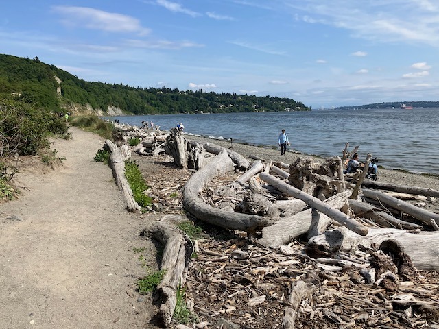
This ride takes you on a seperated bike path from Dr. Jose Rizal Park at the northern most end of Beacon Hill, across the floating bridge, and onto Mercer Island. The I-90 bike path continues across into Bellevue, which can be a lot of fun to explore. But for this ride you loop around Mercer Island and back across the bridge to Seattle – or skip the loop and stop at Shawn's Bakery for a treat! It’s marked with a star on the map.
- -:--
- Duration
- 26.5 km
- Distance
- 225 m
- Ascent
- 243 m
- Descent
- ---
- Avg. speed
- ---
- Avg. speed

Route quality
Waytypes & surfaces along the route
Waytypes
Road
16.9 km
(64 %)
Cycleway
9.6 km
(36 %)
Surfaces
Paved
25.5 km
(96 %)
Paved (undefined)
15.3 km
(58 %)
Asphalt
7.3 km
(27 %)
Route highlights
Points of interest along the route
Point of interest after 7.5 km
Shawn's Cafe & Bakery!!! Fresh pretzel rolls, croissants, scones, chocolate chip cookies, and other delights. Espresso and teas. The Best Challah on Fridays. https://www.yelp.com/biz/shawns-cafe-and-bakery-mercer-island-2
Continue with Bikemap
Use, edit, or download this cycling route
You would like to ride BEACON HILL - MERCER ISLAND or customize it for your own trip? Here is what you can do with this Bikemap route:
Free features
- Save this route as favorite or in collections
- Copy & plan your own version of this route
- Sync your route with Garmin or Wahoo
Premium features
Free trial for 3 days, or one-time payment. More about Bikemap Premium.
- Navigate this route on iOS & Android
- Export a GPX / KML file of this route
- Create your custom printout (try it for free)
- Download this route for offline navigation
Discover more Premium features.
Get Bikemap PremiumFrom our community
Other popular routes starting in Seattle
 Snoqualmie Loop
- Distance
- 117 km
- Ascent
- 824 m
- Descent
- 824 m
- Location
- Seattle, Washington, United States of America
 Lake Washington Route
- Distance
- 88.7 km
- Ascent
- 495 m
- Descent
- 512 m
- Location
- Seattle, Washington, United States of America
 Anderson Classic
- Distance
- 95.9 km
- Ascent
- 1,022 m
- Descent
- 1,030 m
- Location
- Seattle, Washington, United States of America
 Southern Lake Washington Loop
- Distance
- 58.2 km
- Ascent
- 357 m
- Descent
- 358 m
- Location
- Seattle, Washington, United States of America
 Magnolia/Discovery Park Hidden Areas and Great Climbs
- Distance
- 34.9 km
- Ascent
- 530 m
- Descent
- 530 m
- Location
- Seattle, Washington, United States of America
 Stop by work then get beer and drink beer in park loop
- Distance
- 29.3 km
- Ascent
- 294 m
- Descent
- 295 m
- Location
- Seattle, Washington, United States of America
 Bridge2Bridge
- Distance
- 34.3 km
- Ascent
- 448 m
- Descent
- 449 m
- Location
- Seattle, Washington, United States of America
 university loop
- Distance
- 16.9 km
- Ascent
- 125 m
- Descent
- 124 m
- Location
- Seattle, Washington, United States of America
Open it in the app