

USA Trip - Tag 16
A cycling route starting in Elizabeth City, North Carolina, United States of America.
Overview
About this route
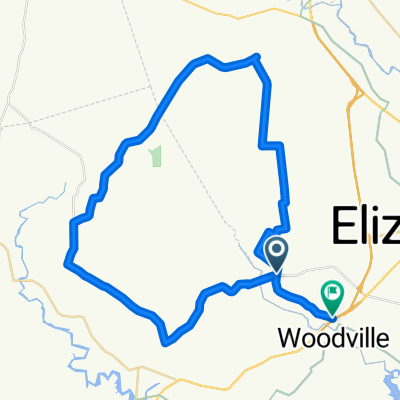
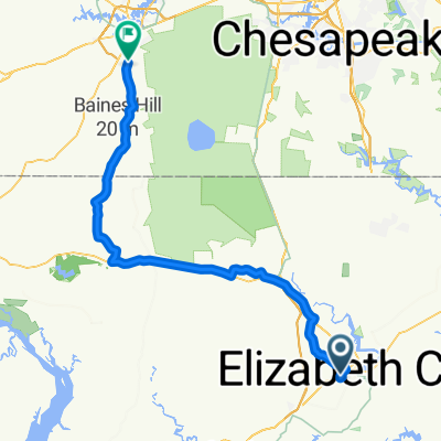
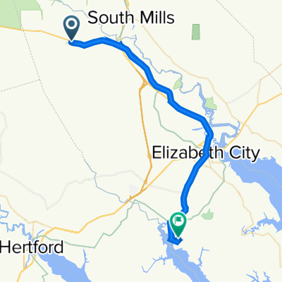
Die heutige Etappe war eine reine Transi-Strecke. Sie führte von Elizabeth City bis nach Charleston. Da wir dabei wie häufig auf unserer Reise nicht immer die "schnelleren" Highways bzw. Interstates genommen haben, sondern wieder die Landschaft erkundeten, hat das auch entsprechend gedauert. Da wir aber schon ein Motel gebucht hatten, konnten wir uns auch Zeit lassen
Dieser Landstrich ist irgendwie eine unwirkliche Gegend. Viele Sumpf- oder Feuchtgebiete, Siedlungen die als solche nicht zu erkennen sind und viele Häuser auf Rädern. Wir waren alle der Meinung, dass wir hier nicht Wohnen würden wollen.
Aber wir haben ein Baumwollfeld und ein Tabakfeld gesehen und hatten eine nette kleine Fährfahrt über eins der vielen Gewässer.
- -:--
- Duration
- 647.2 km
- Distance
- 153 m
- Ascent
- 150 m
- Descent
- ---
- Avg. speed
- ---
- Avg. speed

Continue with Bikemap
Use, edit, or download this cycling route
You would like to ride USA Trip - Tag 16 or customize it for your own trip? Here is what you can do with this Bikemap route:
Free features
- Save this route as favorite or in collections
- Copy & plan your own version of this route
- Sync your route with Garmin or Wahoo
Premium features
Free trial for 3 days, or one-time payment. More about Bikemap Premium.
- Navigate this route on iOS & Android
- Export a GPX / KML file of this route
- Create your custom printout (try it for free)
- Download this route for offline navigation
Discover more Premium features.
Get Bikemap PremiumFrom our community
Other popular routes starting in Elizabeth City
 Red Oka Dr, Elizabeth City to Red Oka Dr, Elizabeth City
- Distance
- 0.4 km
- Ascent
- 0 m
- Descent
- 19 m
- Location
- Elizabeth City, North Carolina, United States of America
 Evangelical Church Loop
- Distance
- 60 km
- Ascent
- 31 m
- Descent
- 33 m
- Location
- Elizabeth City, North Carolina, United States of America
 402 Halstead Blvd, Elizabeth City to 1090–1128 Hosier Rd, Suffolk
- Distance
- 79 km
- Ascent
- 0 m
- Descent
- 3 m
- Location
- Elizabeth City, North Carolina, United States of America
 Red Oka Dr, Elizabeth City to 104 Simeon Ct, Elizabeth City
- Distance
- 1.3 km
- Ascent
- 0 m
- Descent
- 0 m
- Location
- Elizabeth City, North Carolina, United States of America
 104 Simeon Ct, Elizabeth City to 104 Simeon Ct, Elizabeth City
- Distance
- 7.4 km
- Ascent
- 0 m
- Descent
- 0 m
- Location
- Elizabeth City, North Carolina, United States of America
 631–647 US-158, Elizabeth City to 104 Simeon Ct, Elizabeth City
- Distance
- 41.9 km
- Ascent
- 161 m
- Descent
- 162 m
- Location
- Elizabeth City, North Carolina, United States of America
 1471–1485 Nixonton Rd, Elizabeth City to 102 Simeon Ct, Elizabeth City
- Distance
- 1.6 km
- Ascent
- 0 m
- Descent
- 0 m
- Location
- Elizabeth City, North Carolina, United States of America
 36.301° N -76.240° W nach 36.723° N -76.308° W
- Distance
- 58.7 km
- Ascent
- 383 m
- Descent
- 381 m
- Location
- Elizabeth City, North Carolina, United States of America
Open it in the app