
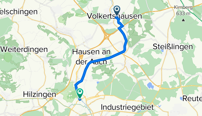
Volkertshausen - Singen
A cycling route starting in Volkertshausen, Baden-Württemberg, Germany.
Overview
About this route
Erlebnispfad Radolfzeller Aach
- -:--
- Duration
- 9.7 km
- Distance
- 36 m
- Ascent
- 59 m
- Descent
- ---
- Avg. speed
- ---
- Avg. speed
Continue with Bikemap
Use, edit, or download this cycling route
You would like to ride Volkertshausen - Singen or customize it for your own trip? Here is what you can do with this Bikemap route:
Free features
- Save this route as favorite or in collections
- Copy & plan your own version of this route
- Sync your route with Garmin or Wahoo
Premium features
Free trial for 3 days, or one-time payment. More about Bikemap Premium.
- Navigate this route on iOS & Android
- Export a GPX / KML file of this route
- Create your custom printout (try it for free)
- Download this route for offline navigation
Discover more Premium features.
Get Bikemap PremiumFrom our community
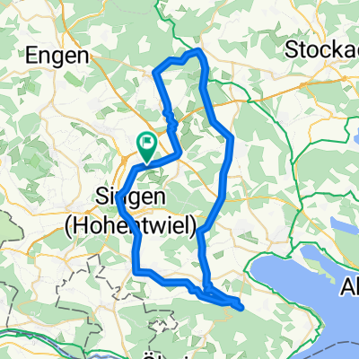
Other popular routes starting in Volkertshausen
 friedingen-Bittelbrunn
- Distance
- 21.8 km
- Ascent
- 315 m
- Descent
- 317 m
- Location
- Volkertshausen, Baden-Württemberg, Germany
 Beuren a.d.Aach - Moos CLONED FROM ROUTE 33527
- Distance
- 49.1 km
- Ascent
- 241 m
- Descent
- 240 m
- Location
- Volkertshausen, Baden-Württemberg, Germany
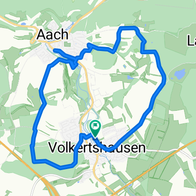 kleine Runde
- Distance
- 13.6 km
- Ascent
- 103 m
- Descent
- 182 m
- Location
- Volkertshausen, Baden-Württemberg, Germany
 Wasserburger Tal
- Distance
- 35.2 km
- Ascent
- 488 m
- Descent
- 472 m
- Location
- Volkertshausen, Baden-Württemberg, Germany
 Volkertshausen-Langenstein
- Distance
- 9.2 km
- Ascent
- 119 m
- Descent
- 121 m
- Location
- Volkertshausen, Baden-Württemberg, Germany
 Kurze MTB Strecke Kirnberg
- Distance
- 19.3 km
- Ascent
- 280 m
- Descent
- 280 m
- Location
- Volkertshausen, Baden-Württemberg, Germany
 De Lärchenstraße 8, Singen (Hohentwiel) à Kolbinger Straße 4, Mühlheim an der Donau
- Distance
- 46.8 km
- Ascent
- 961 m
- Descent
- 786 m
- Location
- Volkertshausen, Baden-Württemberg, Germany
 Beuren - Schiener Berg - Beuren
- Distance
- 36.6 km
- Ascent
- 406 m
- Descent
- 410 m
- Location
- Volkertshausen, Baden-Württemberg, Germany
Open it in the app