

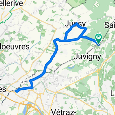
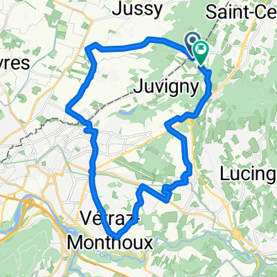
Saxel
A cycling route starting in Saint-Cergues, Auvergne-Rhône-Alpes, France.
Overview
About this route
- -:--
- Duration
- 43.7 km
- Distance
- 56 m
- Ascent
- 1,033 m
- Descent
- ---
- Avg. speed
- ---
- Max. altitude
Route quality
Waytypes & surfaces along the route
Waytypes
Road
25 km
(57 %)
Quiet road
7.9 km
(18 %)
Surfaces
Paved
33.3 km
(76 %)
Unpaved
0.2 km
(<1 %)
Asphalt
33.3 km
(76 %)
Loose gravel
0.1 km
(<1 %)
Continue with Bikemap
Use, edit, or download this cycling route
You would like to ride Saxel or customize it for your own trip? Here is what you can do with this Bikemap route:
Free features
- Save this route as favorite or in collections
- Copy & plan your own version of this route
- Sync your route with Garmin or Wahoo
Premium features
Free trial for 3 days, or one-time payment. More about Bikemap Premium.
- Navigate this route on iOS & Android
- Export a GPX / KML file of this route
- Create your custom printout (try it for free)
- Download this route for offline navigation
Discover more Premium features.
Get Bikemap PremiumFrom our community
Other popular routes starting in Saint-Cergues
 De Route des Curtines à Route des Curtines
- Distance
- 21.7 km
- Ascent
- 158 m
- Descent
- 158 m
- Location
- Saint-Cergues, Auvergne-Rhône-Alpes, France
 De Route des Curtines à Route des Curtines
- Distance
- 21.5 km
- Ascent
- 208 m
- Descent
- 209 m
- Location
- Saint-Cergues, Auvergne-Rhône-Alpes, France
 Jussy 16km
- Distance
- 16.4 km
- Ascent
- 72 m
- Descent
- 70 m
- Location
- Saint-Cergues, Auvergne-Rhône-Alpes, France
 Route de Juvigny 120, Jussy à Parc la Grange, Genève
- Distance
- 23.9 km
- Ascent
- 124 m
- Descent
- 235 m
- Location
- Saint-Cergues, Auvergne-Rhône-Alpes, France
 De Route des Curtines à Route des Curtines
- Distance
- 21.4 km
- Ascent
- 114 m
- Descent
- 113 m
- Location
- Saint-Cergues, Auvergne-Rhône-Alpes, France
 Un grand tour à vélo...
- Distance
- 57.7 km
- Ascent
- 404 m
- Descent
- 404 m
- Location
- Saint-Cergues, Auvergne-Rhône-Alpes, France
 cols du chablais
- Distance
- 83.8 km
- Ascent
- 1,792 m
- Descent
- 1,792 m
- Location
- Saint-Cergues, Auvergne-Rhône-Alpes, France
 Signal des Voirons
- Distance
- 34.4 km
- Ascent
- 918 m
- Descent
- 912 m
- Location
- Saint-Cergues, Auvergne-Rhône-Alpes, France
Open it in the app