

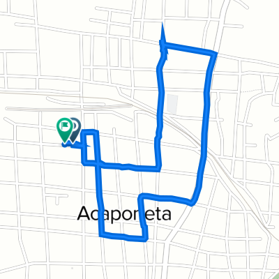
De Calle Allende Ote 4A, Acaponeta a Calle Allende Ote 4A, Acaponeta
A cycling route starting in Acaponeta, Nayarit, Mexico.
Overview
About this route
- 1 h 11 min
- Duration
- 14.4 km
- Distance
- 220 m
- Ascent
- 220 m
- Descent
- 12.1 km/h
- Avg. speed
- ---
- Avg. speed
Route quality
Waytypes & surfaces along the route
Waytypes
Quiet road
8.5 km
(59 %)
Road
5.6 km
(39 %)
Surfaces
Paved
0.9 km
(6 %)
Concrete
0.9 km
(6 %)
Undefined
13.4 km
(94 %)
Continue with Bikemap
Use, edit, or download this cycling route
You would like to ride De Calle Allende Ote 4A, Acaponeta a Calle Allende Ote 4A, Acaponeta or customize it for your own trip? Here is what you can do with this Bikemap route:
Free features
- Save this route as favorite or in collections
- Copy & plan your own version of this route
- Sync your route with Garmin or Wahoo
Premium features
Free trial for 3 days, or one-time payment. More about Bikemap Premium.
- Navigate this route on iOS & Android
- Export a GPX / KML file of this route
- Create your custom printout (try it for free)
- Download this route for offline navigation
Discover more Premium features.
Get Bikemap PremiumFrom our community
Other popular routes starting in Acaponeta
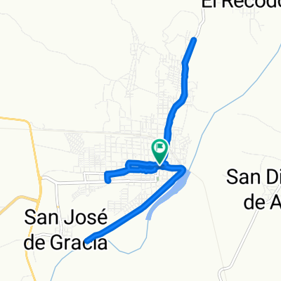
 Ruta a Calle Querétaro 2, Acaponeta
- Distance
- 8.1 km
- Ascent
- 29 m
- Descent
- 65 m
- Location
- Acaponeta, Nayarit, Mexico
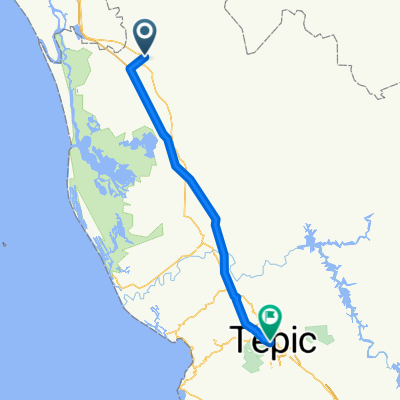 Acaponeta - Tepic
- Distance
- 128.6 km
- Ascent
- 1,391 m
- Descent
- 472 m
- Location
- Acaponeta, Nayarit, Mexico
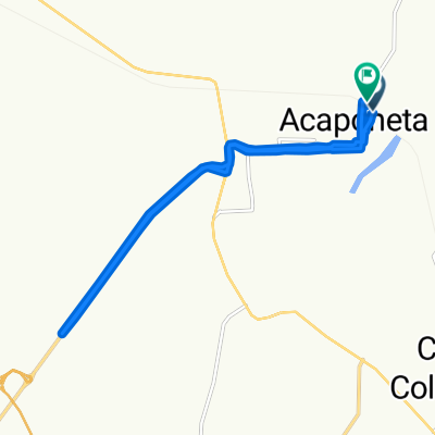 De Calle Vicente Guerrero 29, Acaponeta a Avenida Ferrocarril 8, Acaponeta
- Distance
- 16.3 km
- Ascent
- 119 m
- Descent
- 134 m
- Location
- Acaponeta, Nayarit, Mexico
 Ruta Diaria
- Distance
- 3.2 km
- Ascent
- 19 m
- Descent
- 21 m
- Location
- Acaponeta, Nayarit, Mexico
 De Calle Allende Ote 4A, Acaponeta a Calle Allende Ote 4A, Acaponeta
- Distance
- 14.4 km
- Ascent
- 220 m
- Descent
- 220 m
- Location
- Acaponeta, Nayarit, Mexico
Open it in the app