

Lainzer Tiergarten MTB Strecke
A cycling route starting in Purkersdorf, Lower Austria, Austria.
Overview
About this route
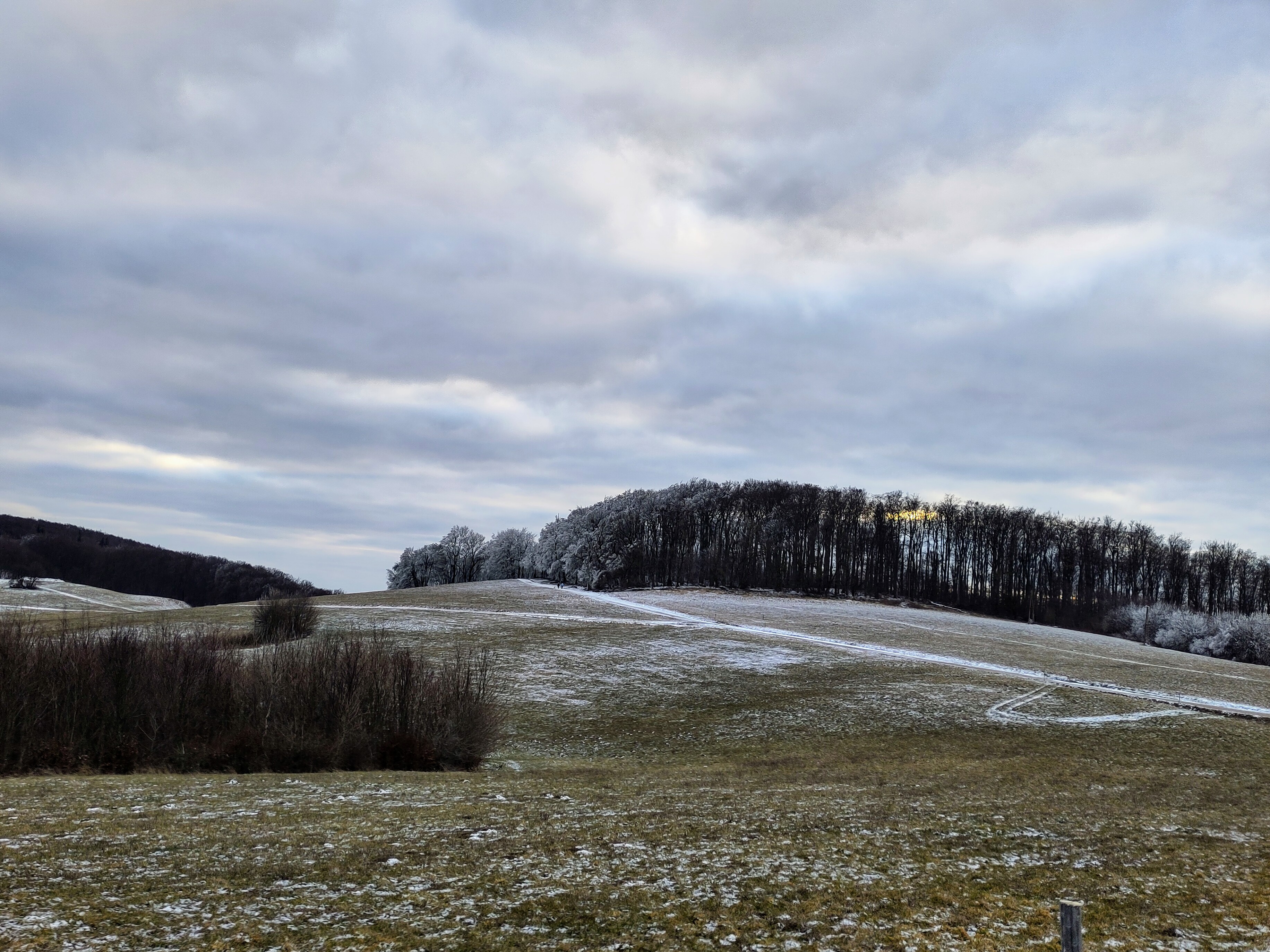
Das ist die derzeit (August 2020) ausgeschilderte MTB-Strecke rund um den Lainzer Tiergarten.
- 1 h 34 min
- Duration
- 23.2 km
- Distance
- 555 m
- Ascent
- 555 m
- Descent
- 14.9 km/h
- Avg. speed
- ---
- Avg. speed

Continue with Bikemap
Use, edit, or download this cycling route
You would like to ride Lainzer Tiergarten MTB Strecke or customize it for your own trip? Here is what you can do with this Bikemap route:
Free features
- Save this route as favorite or in collections
- Copy & plan your own version of this route
- Sync your route with Garmin or Wahoo
Premium features
Free trial for 3 days, or one-time payment. More about Bikemap Premium.
- Navigate this route on iOS & Android
- Export a GPX / KML file of this route
- Create your custom printout (try it for free)
- Download this route for offline navigation
Discover more Premium features.
Get Bikemap PremiumFrom our community
Other popular routes starting in Purkersdorf
 Georgenberg-Strecke
- Distance
- 31.6 km
- Ascent
- 419 m
- Descent
- 419 m
- Location
- Purkersdorf, Lower Austria, Austria
 Leicht Winterliche Sofienalpen-Runde
- Distance
- 17 km
- Ascent
- 554 m
- Descent
- 604 m
- Location
- Purkersdorf, Lower Austria, Austria
 Dambach Strecke
- Distance
- 10.5 km
- Ascent
- 187 m
- Descent
- 184 m
- Location
- Purkersdorf, Lower Austria, Austria
 KaiserbründlRunde
- Distance
- 43.1 km
- Ascent
- 781 m
- Descent
- 781 m
- Location
- Purkersdorf, Lower Austria, Austria
 Wien - Tullnerbach - Judenau - Konigstetten - Klosterneuburg - Sophie Alpen - Hutteldorf
- Distance
- 87.4 km
- Ascent
- 624 m
- Descent
- 623 m
- Location
- Purkersdorf, Lower Austria, Austria
 Laabersteig spezial
- Distance
- 27.6 km
- Ascent
- 731 m
- Descent
- 734 m
- Location
- Purkersdorf, Lower Austria, Austria
 Rundfahrt wienerwaldsee
- Distance
- 33 km
- Ascent
- 727 m
- Descent
- 727 m
- Location
- Purkersdorf, Lower Austria, Austria
 Sofienalpen-Besteigung
- Distance
- 23.2 km
- Ascent
- 473 m
- Descent
- 456 m
- Location
- Purkersdorf, Lower Austria, Austria
Open it in the app