
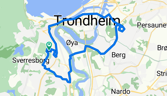
Trondheim Cycling
A cycling route starting in Trondheim, Sør-Trøndelag Fylke, Norway.
Overview
About this route
- -:--
- Duration
- 12.2 km
- Distance
- 208 m
- Ascent
- 211 m
- Descent
- ---
- Avg. speed
- ---
- Avg. speed

Route quality
Waytypes & surfaces along the route
Waytypes
Quiet road
2.8 km
(23 %)
Pedestrian area
2.6 km
(21 %)
Surfaces
Paved
9.4 km
(77 %)
Unpaved
0.2 km
(1 %)
Asphalt
8.7 km
(71 %)
Paving stones
0.5 km
(4 %)
Continue with Bikemap
Use, edit, or download this cycling route
You would like to ride Trondheim Cycling or customize it for your own trip? Here is what you can do with this Bikemap route:
Free features
- Save this route as favorite or in collections
- Copy & plan your own version of this route
- Sync your route with Garmin or Wahoo
Premium features
Free trial for 3 days, or one-time payment. More about Bikemap Premium.
- Navigate this route on iOS & Android
- Export a GPX / KML file of this route
- Create your custom printout (try it for free)
- Download this route for offline navigation
Discover more Premium features.
Get Bikemap PremiumFrom our community
Other popular routes starting in Trondheim
 NOR 055: Trondheim (2)
- Distance
- 56.1 km
- Ascent
- 0 m
- Descent
- 0 m
- Location
- Trondheim, Sør-Trøndelag Fylke, Norway
 Storfossen waterfall
- Distance
- 18.1 km
- Ascent
- 276 m
- Descent
- 262 m
- Location
- Trondheim, Sør-Trøndelag Fylke, Norway
 Prima pedalata laghi
- Distance
- 20.9 km
- Ascent
- 353 m
- Descent
- 322 m
- Location
- Trondheim, Sør-Trøndelag Fylke, Norway
 Jonsvannet 30 km
- Distance
- 30.9 km
- Ascent
- 0 m
- Descent
- 0 m
- Location
- Trondheim, Sør-Trøndelag Fylke, Norway
 Norskekysten sør til nord etappe 4
- Distance
- 627.1 km
- Ascent
- 987 m
- Descent
- 998 m
- Location
- Trondheim, Sør-Trøndelag Fylke, Norway
 Byneset via Byåasen
- Distance
- 41.8 km
- Ascent
- 506 m
- Descent
- 513 m
- Location
- Trondheim, Sør-Trøndelag Fylke, Norway
 trondheim tri
- Distance
- 48.9 km
- Ascent
- 652 m
- Descent
- 652 m
- Location
- Trondheim, Sør-Trøndelag Fylke, Norway
 Südroute
- Distance
- 85.1 km
- Ascent
- 1,086 m
- Descent
- 1,147 m
- Location
- Trondheim, Sør-Trøndelag Fylke, Norway
Open it in the app