

east coast greenway
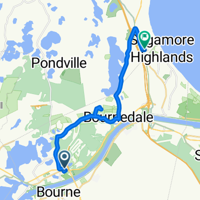
A cycling route starting in Bourne, Massachusetts, United States of America.
Overview
About this route
- -:--
- Duration
- 143.4 km
- Distance
- 185 m
- Ascent
- 181 m
- Descent
- ---
- Avg. speed
- ---
- Avg. speed
Route quality
Waytypes & surfaces along the route
Waytypes
Cycleway
41.3 km
(29 %)
Busy road
41.2 km
(29 %)
Surfaces
Paved
81.5 km
(57 %)
Unpaved
0.7 km
(<1 %)
Asphalt
77.8 km
(54 %)
Paved (undefined)
3 km
(2 %)
Route highlights
Points of interest along the route
Accommodation after 43.6 km
The Ocean view
Accommodation after 91.4 km
Old Tavern Inn
Accommodation after 96.7 km
Inn at the Oaks 3085 State Highway, Eastham, MA
Point of interest after 142.9 km
The Provincetown hotel 102 Bradford Street
Continue with Bikemap
Use, edit, or download this cycling route
You would like to ride east coast greenway or customize it for your own trip? Here is what you can do with this Bikemap route:
Free features
- Save this route as favorite or in collections
- Copy & plan your own version of this route
- Sync your route with Garmin or Wahoo
Premium features
Free trial for 3 days, or one-time payment. More about Bikemap Premium.
- Navigate this route on iOS & Android
- Export a GPX / KML file of this route
- Create your custom printout (try it for free)
- Download this route for offline navigation
Discover more Premium features.
Get Bikemap PremiumFrom our community
Other popular routes starting in Bourne
 east coast greenway
- Distance
- 143.4 km
- Ascent
- 185 m
- Descent
- 181 m
- Location
- Bourne, Massachusetts, United States of America
 300 Main St, Buzzards Bay to 304 Main St, Buzzards Bay
- Distance
- 11 km
- Ascent
- 0 m
- Descent
- 6 m
- Location
- Bourne, Massachusetts, United States of America
 Bourne Bridge, Buzzards Bay to 307A Main St, Sturbridge
- Distance
- 154.1 km
- Ascent
- 1,184 m
- Descent
- 1,017 m
- Location
- Bourne, Massachusetts, United States of America
 ODR-Snug Harbor-Rt28 Loop
- Distance
- 34.7 km
- Ascent
- 150 m
- Descent
- 150 m
- Location
- Bourne, Massachusetts, United States of America
 Canal Service Rd, Buzzards Bay to 2963–2999 County Road 1, Accord
- Distance
- 420.3 km
- Ascent
- 4,137 m
- Descent
- 4,063 m
- Location
- Bourne, Massachusetts, United States of America
 alt return from buzzards bay research route
- Distance
- 16.3 km
- Ascent
- 57 m
- Descent
- 23 m
- Location
- Bourne, Massachusetts, United States of America
 Canal Service Rd, Buzzards Bay to Canal Service Rd, Buzzards Bay
- Distance
- 21.5 km
- Ascent
- 72 m
- Descent
- 73 m
- Location
- Bourne, Massachusetts, United States of America
 Canal Service Rd, Buzzards Bay to Canal Service Rd, Sandwich
- Distance
- 10.7 km
- Ascent
- 16 m
- Descent
- 15 m
- Location
- Bourne, Massachusetts, United States of America
Open it in the app