Premium Badge Download on the App Store Get it on Google Play Turn-by-turn Navigation Offline Maps Bike Type Optimized Routing Premium Maps Custom Bike Computer Export Routes Route Previews Fall Detection Premium Support

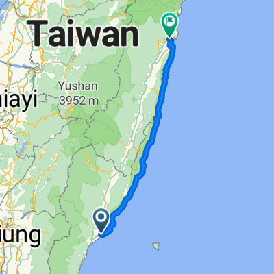
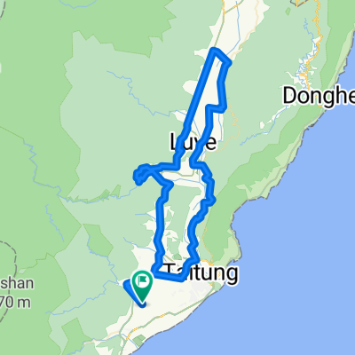
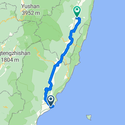
Cycling Route in Taitung City, Taiwan, Taiwan

[非官方] 瘋300推測路線

0
Open this route in the Bikemap app

Open this route in the Bikemap app

Open this route in Bikemap Web

Open this route in Bikemap Web

314 km
Distance
867 m
Ascent
867 m
Descent
-:-- h
Duration
-- km/h
Avg. Speed
--- m
Max. Elevation

About This Route

<span>台東市→中華大橋→小野柳→杉原→都蘭→東河</span><span>→成功→長濱→石梯→豐濱→海洋公園→ 豐濱→石梯→長濱→成功→東河→都蘭→杉原→小野柳→中</span>華大橋→台東市

This cycling route is ideal for: City bike

You will cycle on the following surfaces: Paved

Customize this cycling route with the Bikemap route planner.

Make it yours!

Did you know? You can use this route as a template in our cycling route planner if you don't wish to start from scratch. Customize it based on your needs to plan your perfect cycling tour.

Open it in the app