

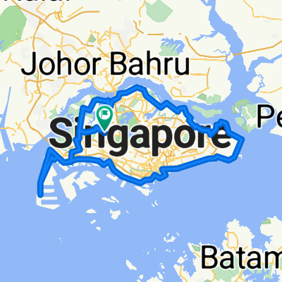
RTI 2
A cycling route starting in Singapore, Central Singapore Community Development Council, Singapore.
Overview
About this route
RTI 2
- -:--
- Duration
- 125.4 km
- Distance
- 162 m
- Ascent
- 164 m
- Descent
- ---
- Avg. speed
- ---
- Avg. speed

Route quality
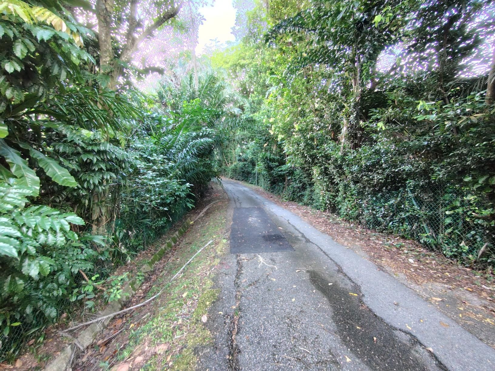
Waytypes & surfaces along the route
Waytypes
Busy road
56.7 km
(45 %)
Cycleway
39.4 km
(31 %)
Surfaces
Paved
100.8 km
(80 %)
Unpaved
0.2 km
(<1 %)
Asphalt
90.6 km
(72 %)
Paved (undefined)
6 km
(5 %)
Route highlights
Points of interest along the route
Drinking water after 32.1 km
Kranji MRT Water Stop Toilet Break 7/11
Drinking water after 51.5 km
Food Court Water Break Sheng Shong Toilet
Drinking water after 61.2 km
Cheers Grocery ESSO Toilet
Point of interest after 64.5 km
West Coast Park Toilet Water Fountain Toilet
Drinking water after 66.9 km
Shell Station 7/11 Toilet
Drinking water after 69.8 km
7/11
Accommodation after 69.8 km
ESSO Station Toilet Break
Drinking water after 75.2 km
7/11 Water Break Grocery
Drinking water after 85.7 km
Cheers Water Break Toilet Break
Drinking water after 86.4 km
McDonalds
Drinking water after 111.4 km
Toilet Break Food and Drinks Hawker Center 7/11 Cheers
Continue with Bikemap
Use, edit, or download this cycling route
You would like to ride RTI 2 or customize it for your own trip? Here is what you can do with this Bikemap route:
Free features
- Save this route as favorite or in collections
- Copy & plan your own version of this route
- Sync your route with Garmin or Wahoo
Premium features
Free trial for 3 days, or one-time payment. More about Bikemap Premium.
- Navigate this route on iOS & Android
- Export a GPX / KML file of this route
- Create your custom printout (try it for free)
- Download this route for offline navigation
Discover more Premium features.
Get Bikemap PremiumFrom our community
Other popular routes starting in Singapore
 Tampines To Hyderabad/Kay Siang/Ridley Park
- Distance
- 58.1 km
- Ascent
- 477 m
- Descent
- 477 m
- Location
- Singapore, Central Singapore Community Development Council, Singapore
 RTI Shore Loop
- Distance
- 132 km
- Ascent
- 635 m
- Descent
- 642 m
- Location
- Singapore, Central Singapore Community Development Council, Singapore
 Coast 2 Coast Loop (PCN)
- Distance
- 98.3 km
- Ascent
- 1,007 m
- Descent
- 1,007 m
- Location
- Singapore, Central Singapore Community Development Council, Singapore
 Round Island (+TP1)
- Distance
- 155.6 km
- Ascent
- 1,028 m
- Descent
- 1,029 m
- Location
- Singapore, Central Singapore Community Development Council, Singapore
 NorthernScenicExplorer
- Distance
- 38.8 km
- Ascent
- 177 m
- Descent
- 177 m
- Location
- Singapore, Central Singapore Community Development Council, Singapore
 Tampines Simei Loop
- Distance
- 14.2 km
- Ascent
- 94 m
- Descent
- 91 m
- Location
- Singapore, Central Singapore Community Development Council, Singapore
 RTI CHILL RIDE
- Distance
- 173.2 km
- Ascent
- 191 m
- Descent
- 197 m
- Location
- Singapore, Central Singapore Community Development Council, Singapore
 Give it a hundred %
- Distance
- 99.7 km
- Ascent
- 95 m
- Descent
- 87 m
- Location
- Singapore, Central Singapore Community Development Council, Singapore
Open it in the app