
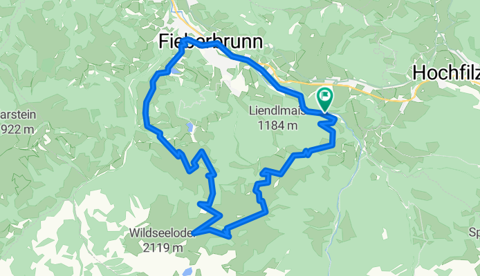
Fieberbrunn/Wildseeloder-Runde
A cycling route starting in Hochfilzen, Tyrol, Austria.
Overview
About this route
- 2 h 6 min
- Duration
- 19.5 km
- Distance
- 976 m
- Ascent
- 977 m
- Descent
- 9.3 km/h
- Avg. speed
- ---
- Avg. speed
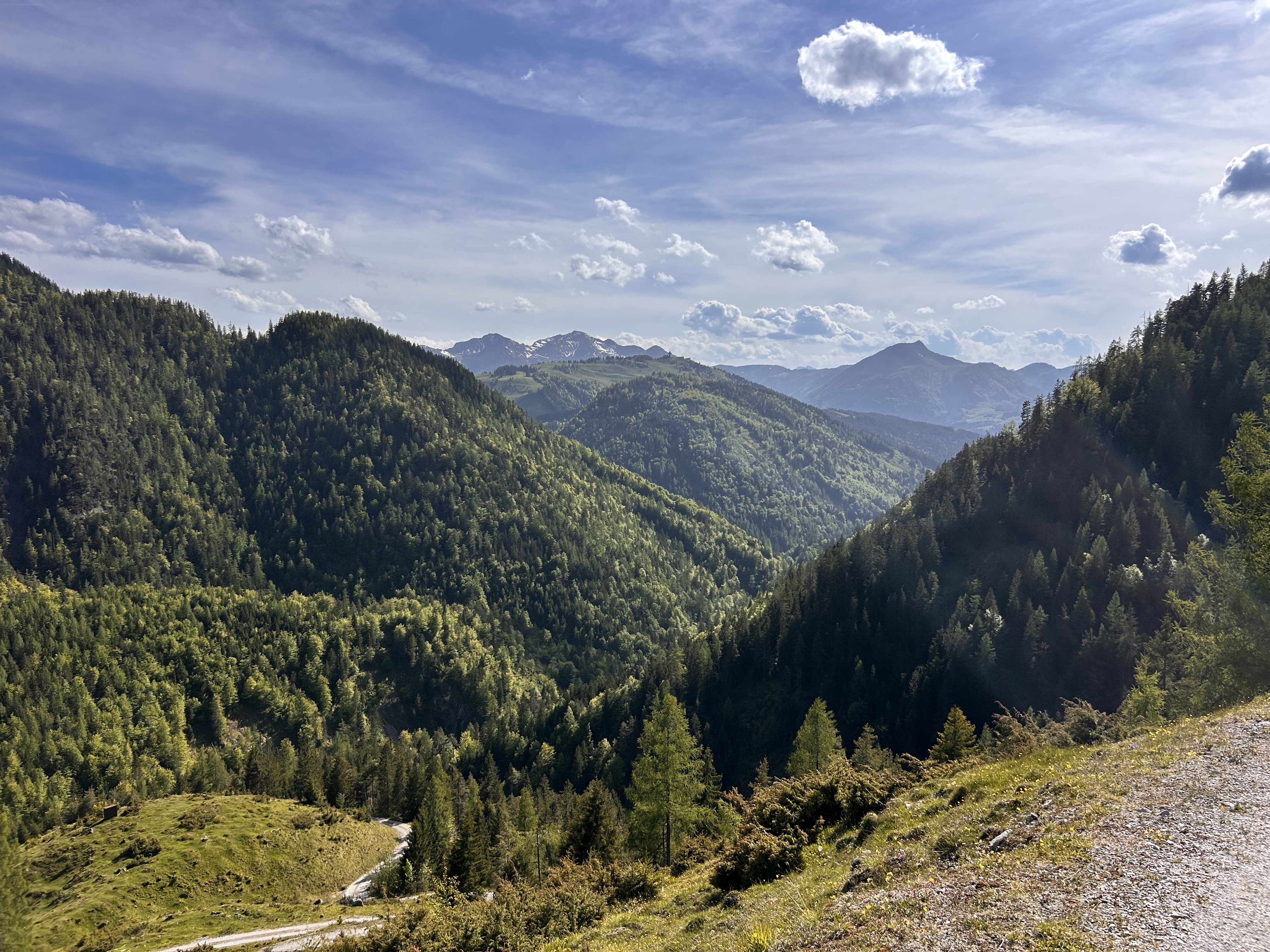
Route photos


Continue with Bikemap
Use, edit, or download this cycling route
You would like to ride Fieberbrunn/Wildseeloder-Runde or customize it for your own trip? Here is what you can do with this Bikemap route:
Free features
- Save this route as favorite or in collections
- Copy & plan your own version of this route
- Sync your route with Garmin or Wahoo
Premium features
Free trial for 3 days, or one-time payment. More about Bikemap Premium.
- Navigate this route on iOS & Android
- Export a GPX / KML file of this route
- Create your custom printout (try it for free)
- Download this route for offline navigation
Discover more Premium features.
Get Bikemap PremiumFrom our community
Other popular routes starting in Hochfilzen
 Hochfilzen Waidring Hochfilzen
- Distance
- 33.7 km
- Ascent
- 449 m
- Descent
- 502 m
- Location
- Hochfilzen, Tyrol, Austria
 Pillersee
- Distance
- 32.8 km
- Ascent
- 70 m
- Descent
- 371 m
- Location
- Hochfilzen, Tyrol, Austria
 Saalachradweg erweitert
- Distance
- 57.1 km
- Ascent
- 283 m
- Descent
- 480 m
- Location
- Hochfilzen, Tyrol, Austria
 Leogang and Hochfilzen part 2
- Distance
- 32.1 km
- Ascent
- 246 m
- Descent
- 445 m
- Location
- Hochfilzen, Tyrol, Austria
 Schüttachstraße 3, Hochfilzen nach Schüttachstraße 3, Hochfilzen
- Distance
- 28.4 km
- Ascent
- 810 m
- Descent
- 802 m
- Location
- Hochfilzen, Tyrol, Austria
 Hochfilzen - Griesental - Buchsteinerwand -Rundweg 1:55 min 34km
- Distance
- 31.4 km
- Ascent
- 973 m
- Descent
- 944 m
- Location
- Hochfilzen, Tyrol, Austria
 Tauernweg
- Distance
- 66.5 km
- Ascent
- 227 m
- Descent
- 531 m
- Location
- Hochfilzen, Tyrol, Austria
 zur Alm
- Distance
- 31.7 km
- Ascent
- 1,172 m
- Descent
- 1,169 m
- Location
- Hochfilzen, Tyrol, Austria
Open it in the app