
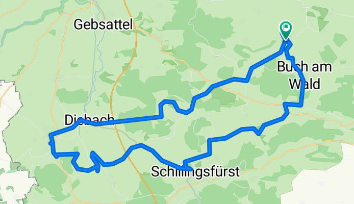
Lauterbach - Schönbronn - Diebach - Insingen - Mugga Heide - Schillingsfürst - Traisdorf - Buch - Lauterbach
A cycling route starting in Geslau, Bavaria, Germany.
Overview
About this route
- 6 h 49 min
- Duration
- 41.8 km
- Distance
- 454 m
- Ascent
- 463 m
- Descent
- 6.1 km/h
- Avg. speed
- ---
- Avg. speed

Route quality
Waytypes & surfaces along the route
Waytypes
Quiet road
11.2 km
(27 %)
Track
10.7 km
(26 %)
Surfaces
Paved
12.7 km
(30 %)
Unpaved
8.5 km
(20 %)
Asphalt
9.8 km
(24 %)
Unpaved (undefined)
4.9 km
(12 %)
Continue with Bikemap
Use, edit, or download this cycling route
You would like to ride Lauterbach - Schönbronn - Diebach - Insingen - Mugga Heide - Schillingsfürst - Traisdorf - Buch - Lauterbach or customize it for your own trip? Here is what you can do with this Bikemap route:
Free features
- Save this route as favorite or in collections
- Copy & plan your own version of this route
- Sync your route with Garmin or Wahoo
Premium features
Free trial for 3 days, or one-time payment. More about Bikemap Premium.
- Navigate this route on iOS & Android
- Export a GPX / KML file of this route
- Create your custom printout (try it for free)
- Download this route for offline navigation
Discover more Premium features.
Get Bikemap PremiumFrom our community
Other popular routes starting in Geslau
 EU day 8
- Distance
- 115.9 km
- Ascent
- 457 m
- Descent
- 493 m
- Location
- Geslau, Bavaria, Germany
 Rad-Schmetterling 2011
- Distance
- 400.4 km
- Ascent
- 947 m
- Descent
- 947 m
- Location
- Geslau, Bavaria, Germany
 Radtour 13.06.2023
- Distance
- 32.3 km
- Ascent
- 266 m
- Descent
- 267 m
- Location
- Geslau, Bavaria, Germany
 Ostercamp-Treuchtlingen
- Distance
- 76.5 km
- Ascent
- 135 m
- Descent
- 167 m
- Location
- Geslau, Bavaria, Germany
 Tour Geslau 10 km
- Distance
- 9.7 km
- Ascent
- 51 m
- Descent
- 50 m
- Location
- Geslau, Bavaria, Germany
 Lauterbach-Waldsee Schillingsfuerst
- Distance
- 28.2 km
- Ascent
- 318 m
- Descent
- 299 m
- Location
- Geslau, Bavaria, Germany
 von Geslau über Schillingsfürst und zurück
- Distance
- 35.5 km
- Ascent
- 276 m
- Descent
- 276 m
- Location
- Geslau, Bavaria, Germany
 Lauterbach - Schönbronn - Diebach - Insingen - Mugga Heide - Schillingsfürst - Traisdorf - Buch - Lauterbach
- Distance
- 41.8 km
- Ascent
- 454 m
- Descent
- 463 m
- Location
- Geslau, Bavaria, Germany
Open it in the app