Premium Badge Download on the App Store Get it on Google Play Turn-by-turn Navigation Offline Maps Bike Type Optimized Routing Premium Maps Custom Bike Computer Export Routes Route Previews Fall Detection Premium Support

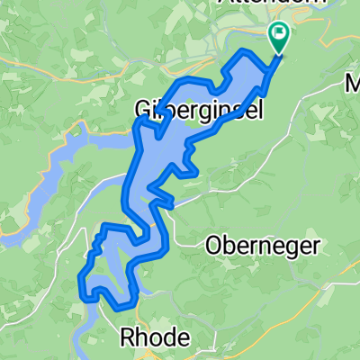
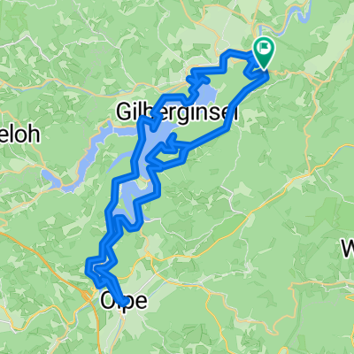
Cycling Route in Attendorn, North Rhine-Westphalia, Germany

TT_MTB_X6_X27_short

0
Open this route in the Bikemap app

Open this route in the Bikemap app

Open this route in Bikemap Web

Open this route in Bikemap Web

56 km
Distance
2011 m
Ascent
2013 m
Descent
-:-- h
Duration
-- km/h
Avg. Speed
--- m
Max. Elevation

About This Route

Hinweg X6 von Attendorn bis Höhe Saalhausen. Eigene Strecke zu X27 über Langenei und Stöppel, bis kurz vor Ende in Meggen. Rückweg nach Attendorn wieder eigene Strecke

Customize this cycling route with the Bikemap route planner.

Make it yours!

Did you know? You can use this route as a template in our cycling route planner if you don't wish to start from scratch. Customize it based on your needs to plan your perfect cycling tour.

Open it in the app