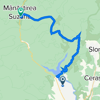
Cycling Route in Măneciu-Ungureni, Prahova, Romania
Maneciu - Tabla Butii si retur
0

Open this route in the Bikemap app

Open this route in Bikemap Web
53
km
Distance
Distance
1093
m
Ascent
Ascent
1094
m
Descent
Descent
-:--
h
Duration
Duration
--
km/h
Avg. Speed
Avg. Speed
---
m
Max. Elevation
Max. Elevation


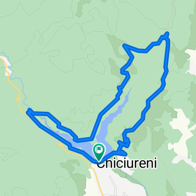


![[2014.09.27] Traseu Cheia MTB Challenge](https://media.bikemap.net/routes/3434759/staticmaps/in_bda1e2c9-b9db-409d-865d-b64fb6eec2a3_400x400_bikemap-2021-3D-static.png)