Premium Badge Download on the App Store Get it on Google Play Turn-by-turn Navigation Offline Maps Bike Type Optimized Routing Premium Maps Custom Bike Computer Export Routes Route Previews Fall Detection Premium Support

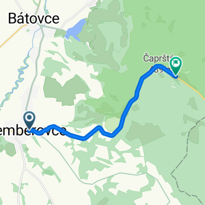
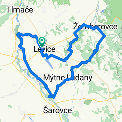
Cycling Route in Levice, Nitriansky kraj, Slovak Republic

žuhračka 1

0
Open this route in the Bikemap app

Open this route in the Bikemap app

Open this route in Bikemap Web

Open this route in Bikemap Web

46 km
Distance
544 m
Ascent
543 m
Descent
-:-- h
Duration
-- km/h
Avg. Speed
--- m
Max. Elevation

About This Route

Levice / Námestie Hrdinov SNP – Krížny Vrch – Podlužany – Nová Dedina – Brezina- Chata Žuhračka – Vodná nádrž Rakovec – Chata Žuhračka – Devičany – Drženický rybník – Drženice – Nová Dedina - Levice  

Highlights Along The Route

POI Photo 1: Filip Nuota

Point of Interest

Vodná nádrž Rakovec

POI Photo 2: Filip Nuota

Photo

Mariánska kaplnka - Krížny vrch

POI Photo 3: Filip Nuota

Point of Interest

Vodná nádrž Drženice

More highlights are available with Bikemap for iOS and Android.

Customize this cycling route with the Bikemap route planner.

Make it yours!

Did you know? You can use this route as a template in our cycling route planner if you don't wish to start from scratch. Customize it based on your needs to plan your perfect cycling tour.

Open it in the app