

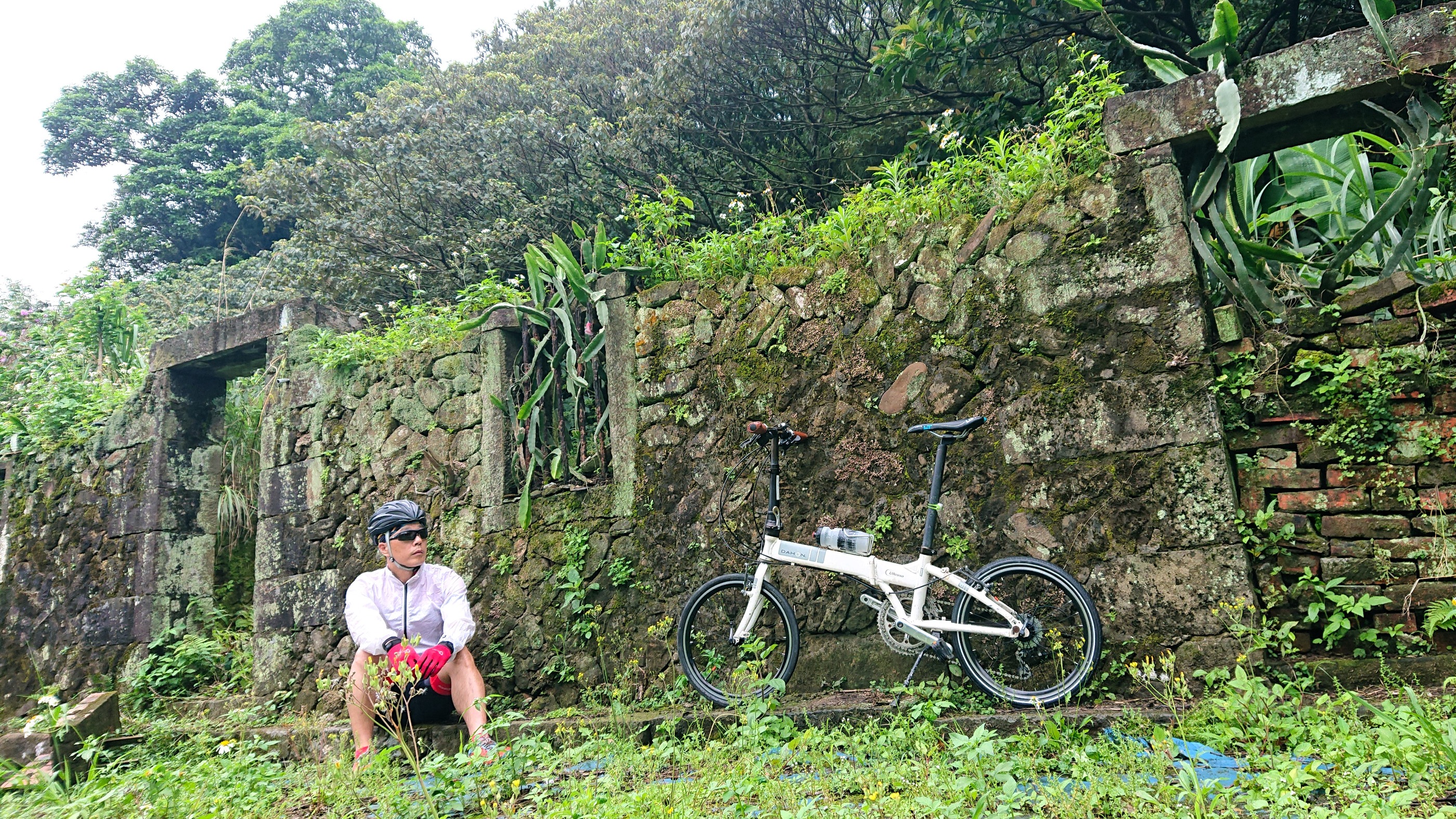
TUAA 不厭‧五分 雙峰挑戰 2011 KOM「快樂登山王‧騎士模擬考」
A cycling route starting in Keelung, Taiwan, Taiwan.
Overview
About this route
2011 KOM 'Happy Mountain King - Knight Simulation Test' Not Tired - Twin Peak Challenge Shuangxi Shanglin Elementary School (start chip detection point) → Shuanggan Highway 2 Ping → Ruishuang Highway 102 County Road → Mudan → Bu Yan Pavilion 1 02 County Road 21 KM (first summit checkpoint, elevation about 551M, average grade about 6.2%, energy station) → Ruijin Highway (continuous downhill) → Jinguashi → Jiufen → Ruifang (Mingdeng Road → San Guazai Keng Road → Zhongshan Road) → Turn left into Yujie Fish Pit Road 106 County Road (mid checkpoint) → Ruiping Highway → Turn right at Wufen Weather Station (second summit checkpoint, elevation about 757M, average grade about 6.5%, water station) → Turn back → Turn right on Ruiping Highway (continuous downhill) → Ping Shuang Industrial Road 2 Ping → Ping Shuang Tunnel → Shuangxi Shanglin Elementary School (finish chip detection point)
- -:--
- Duration
- 57.7 km
- Distance
- 1,428 m
- Ascent
- 1,425 m
- Descent
- ---
- Avg. speed
- ---
- Max. altitude

Route quality
Waytypes & surfaces along the route
Waytypes
Quiet road
12.1 km
(21 %)
Road
4.6 km
(8 %)
Surfaces
Paved
39.8 km
(69 %)
Asphalt
39.8 km
(69 %)
Undefined
17.9 km
(31 %)
Continue with Bikemap
Use, edit, or download this cycling route
You would like to ride TUAA 不厭‧五分 雙峰挑戰 2011 KOM「快樂登山王‧騎士模擬考」 or customize it for your own trip? Here is what you can do with this Bikemap route:
Free features
- Save this route as favorite or in collections
- Copy & plan your own version of this route
- Sync your route with Garmin or Wahoo
Premium features
Free trial for 3 days, or one-time payment. More about Bikemap Premium.
- Navigate this route on iOS & Android
- Export a GPX / KML file of this route
- Create your custom printout (try it for free)
- Download this route for offline navigation
Discover more Premium features.
Get Bikemap PremiumFrom our community
Other popular routes starting in Keelung
 汐止-福隆
汐止-福隆- Distance
- 45.2 km
- Ascent
- 1,157 m
- Descent
- 1,190 m
- Location
- Keelung, Taiwan, Taiwan
 Day 15 基隆去台北
- Distance
- 83.8 km
- Ascent
- 217 m
- Descent
- 222 m
- Location
- Keelung, Taiwan, Taiwan
 DWD-MiniFXT113
- Distance
- 92.1 km
- Ascent
- 886 m
- Descent
- 147 m
- Location
- Keelung, Taiwan, Taiwan
 Project S
- Distance
- 1,136.3 km
- Ascent
- 1,682 m
- Descent
- 1,655 m
- Location
- Keelung, Taiwan, Taiwan
 一日東雙塔/瑞芳車站-三貂角燈塔-鵝巒鼻燈塔
- Distance
- 502.9 km
- Ascent
- 1,436 m
- Descent
- 1,456 m
- Location
- Keelung, Taiwan, Taiwan
 友蚋溪谷
友蚋溪谷- Distance
- 20.8 km
- Ascent
- 855 m
- Descent
- 314 m
- Location
- Keelung, Taiwan, Taiwan
 Bikemania _cycling around Formosa 09
- Distance
- 1,065.6 km
- Ascent
- 1,492 m
- Descent
- 1,592 m
- Location
- Keelung, Taiwan, Taiwan
 2022-04-17 09:40:42 單車平溪灰窯瀑布繞行基隆河自行車道
- Distance
- 95.2 km
- Ascent
- 2,330 m
- Descent
- 2,326 m
- Location
- Keelung, Taiwan, Taiwan
Open it in the app