Fuerteventura-Rundtour: Costa Calma
A cycling route starting in Pájara, Canary Islands, Spain.
Overview
About this route
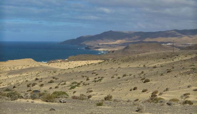
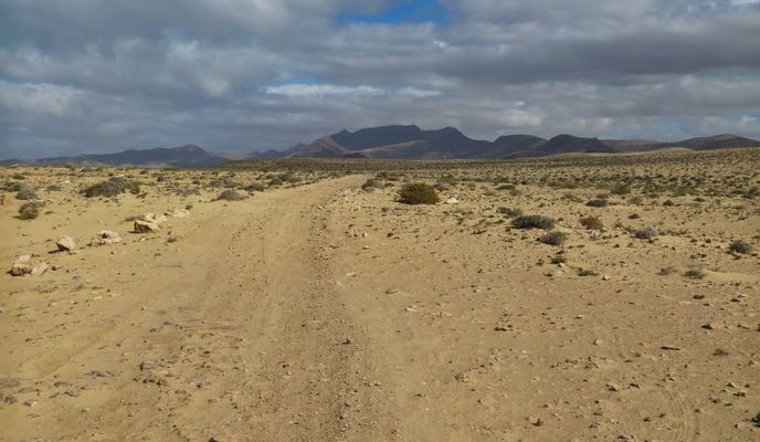
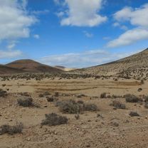
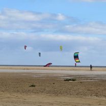
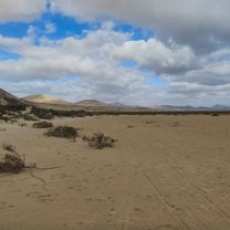
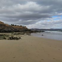
Heute habe ich eine Radtour durch die Dünen bei Costa Calma und am Strand von Costa Calma durchgeführt. Das Auto habe ich kurz vor dem Ort: La Pared abgetsellt. Dann ging es Richtung Süden durch die Dünen. Vor der Bergkette fährt man dann durch ein trockenes Flußbett zur Küste der Costa Calma. An der Küste entlang bis zum Ortsende von Costa Calma und zurück zum Ort: La Pared.
- -:--
- Duration
- 32.2 km
- Distance
- 510 m
- Ascent
- 510 m
- Descent
- ---
- Avg. speed
- ---
- Avg. speed
Route photos
Route quality
Waytypes & surfaces along the route
Waytypes
Track
19.9 km
(62 %)
Path
3.9 km
(12 %)
Surfaces
Paved
5.9 km
(18 %)
Unpaved
24.7 km
(77 %)
Sand
19.9 km
(62 %)
Asphalt
5.8 km
(18 %)
Continue with Bikemap
Use, edit, or download this cycling route
You would like to ride Fuerteventura-Rundtour: Costa Calma or customize it for your own trip? Here is what you can do with this Bikemap route:
Free features
- Save this route as favorite or in collections
- Copy & plan your own version of this route
- Sync your route with Garmin or Wahoo
Premium features
Free trial for 3 days, or one-time payment. More about Bikemap Premium.
- Navigate this route on iOS & Android
- Export a GPX / KML file of this route
- Create your custom printout (try it for free)
- Download this route for offline navigation
Discover more Premium features.
Get Bikemap PremiumFrom our community
Other popular routes starting in Pájara
 Runda 1
- Distance
- 39.7 km
- Ascent
- 659 m
- Descent
- 662 m
- Location
- Pájara, Canary Islands, Spain
 COFEJANDIA
- Distance
- 25.4 km
- Ascent
- 607 m
- Descent
- 658 m
- Location
- Pájara, Canary Islands, Spain
 Inlandstour-west
- Distance
- 33.7 km
- Ascent
- 631 m
- Descent
- 613 m
- Location
- Pájara, Canary Islands, Spain
 Vega de Rio Palmas / Betancuria
- Distance
- 19.2 km
- Ascent
- 487 m
- Descent
- 505 m
- Location
- Pájara, Canary Islands, Spain
 Pajararunde
- Distance
- 65.3 km
- Ascent
- 875 m
- Descent
- 874 m
- Location
- Pájara, Canary Islands, Spain
 la pared till Playitas
- Distance
- 30 km
- Ascent
- 408 m
- Descent
- 439 m
- Location
- Pájara, Canary Islands, Spain
 add on morro veloso
- Distance
- 27 km
- Ascent
- 568 m
- Descent
- 586 m
- Location
- Pájara, Canary Islands, Spain
 Avenida del Istmo, 2, Pájara to Avenida del Istmo, 2, Pájara
- Distance
- 62 km
- Ascent
- 1,088 m
- Descent
- 1,089 m
- Location
- Pájara, Canary Islands, Spain
Open it in the app


