
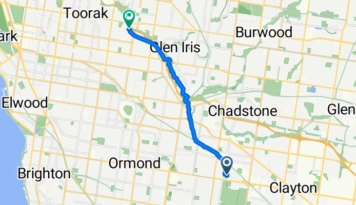
8 Best Street, Oakleigh to 1–293B Gardiners Creek Trail, Malvern
A cycling route starting in Hughesdale, Victoria, Australia.
Overview
About this route
- 33 min
- Duration
- 9.7 km
- Distance
- 27 m
- Ascent
- 72 m
- Descent
- 17.6 km/h
- Avg. speed
- ---
- Avg. speed
Continue with Bikemap
Use, edit, or download this cycling route
You would like to ride 8 Best Street, Oakleigh to 1–293B Gardiners Creek Trail, Malvern or customize it for your own trip? Here is what you can do with this Bikemap route:
Free features
- Save this route as favorite or in collections
- Copy & plan your own version of this route
- Sync your route with Garmin or Wahoo
Premium features
Free trial for 3 days, or one-time payment. More about Bikemap Premium.
- Navigate this route on iOS & Android
- Export a GPX / KML file of this route
- Create your custom printout (try it for free)
- Download this route for offline navigation
Discover more Premium features.
Get Bikemap PremiumFrom our community
Other popular routes starting in Hughesdale
 16 Westminster Street, Oakleigh to 1 Heath Avenue, Oakleigh
- Distance
- 5.2 km
- Ascent
- 27 m
- Descent
- 23 m
- Location
- Hughesdale, Victoria, Australia
 Oakleigh to South Yarra via Convent & parkville
- Distance
- 38 km
- Ascent
- 80 m
- Descent
- 132 m
- Location
- Hughesdale, Victoria, Australia
 Oakliegh to Yan Yean Lake
- Distance
- 55.2 km
- Ascent
- 500 m
- Descent
- 497 m
- Location
- Hughesdale, Victoria, Australia
 Hughesdale to Red Hill
- Distance
- 64.2 km
- Ascent
- 415 m
- Descent
- 276 m
- Location
- Hughesdale, Victoria, Australia
 Hughsedale to Spencer St
- Distance
- 31.1 km
- Ascent
- 120 m
- Descent
- 166 m
- Location
- Hughesdale, Victoria, Australia
 Hughesdale to Mordialloc
- Distance
- 35.9 km
- Ascent
- 49 m
- Descent
- 92 m
- Location
- Hughesdale, Victoria, Australia
 Scotchmans Creek Trl, Oakleigh to Oakleigh Ward, Oakleigh
- Distance
- 54.3 km
- Ascent
- 0 m
- Descent
- 0 m
- Location
- Hughesdale, Victoria, Australia
 Hughesdale to Caulfield loop 50 km
- Distance
- 49.9 km
- Ascent
- 270 m
- Descent
- 269 m
- Location
- Hughesdale, Victoria, Australia
Open it in the app