Cycling Route in Saint-Jean-le-Blanc, Centre Region, France
LOIRET - SO - 88KM- dry-moncay-meung et retour 105kms
0

Open this route in the Bikemap app

Open this route in Bikemap Web
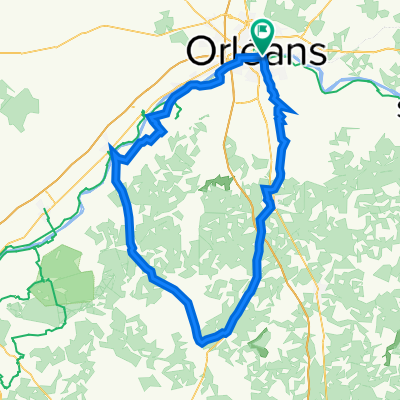
87
km
Distance
Distance
238
m
Ascent
Ascent
236
m
Descent
Descent
-:--
h
Duration
Duration
--
km/h
Avg. Speed
Avg. Speed
115
m
Max. Elevation
Max. Elevation