
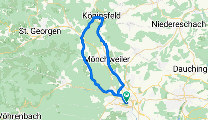
VS-Groppertal-Königsfeld und VS
A cycling route starting in Villingen-Schwenningen, Baden-Württemberg, Germany.
Overview
About this route
- 2 h 13 min
- Duration
- 32.5 km
- Distance
- 350 m
- Ascent
- 351 m
- Descent
- 14.7 km/h
- Avg. speed
- ---
- Avg. speed

Route quality
Waytypes & surfaces along the route
Waytypes
Quiet road
8.8 km
(27 %)
Road
7.3 km
(22 %)
Surfaces
Paved
28.6 km
(88 %)
Unpaved
0.5 km
(1 %)
Asphalt
27.1 km
(83 %)
Paved (undefined)
0.8 km
(2 %)
Continue with Bikemap
Use, edit, or download this cycling route
You would like to ride VS-Groppertal-Königsfeld und VS or customize it for your own trip? Here is what you can do with this Bikemap route:
Free features
- Save this route as favorite or in collections
- Copy & plan your own version of this route
- Sync your route with Garmin or Wahoo
Premium features
Free trial for 3 days, or one-time payment. More about Bikemap Premium.
- Navigate this route on iOS & Android
- Export a GPX / KML file of this route
- Create your custom printout (try it for free)
- Download this route for offline navigation
Discover more Premium features.
Get Bikemap PremiumFrom our community
Other popular routes starting in Villingen-Schwenningen
 Schwenninger-Rundkurs ohne Überland
- Distance
- 35.2 km
- Ascent
- 187 m
- Descent
- 187 m
- Location
- Villingen-Schwenningen, Baden-Württemberg, Germany
 2017_03_27 Neckartalweg - Tag 1 - Villingen - Horb
- Distance
- 86.8 km
- Ascent
- 1,288 m
- Descent
- 1,576 m
- Location
- Villingen-Schwenningen, Baden-Württemberg, Germany
 Bickenstraße 27, Villingen-Schwenningen nach Hinterdorfstraße 44, Eigeltingen
- Distance
- 61.3 km
- Ascent
- 1,383 m
- Descent
- 1,589 m
- Location
- Villingen-Schwenningen, Baden-Württemberg, Germany
 über SulgenSchramberg WolfachHausach Route
- Distance
- 43.2 km
- Ascent
- 1,053 m
- Descent
- 1,528 m
- Location
- Villingen-Schwenningen, Baden-Württemberg, Germany
 Mittlere Trainingstour
- Distance
- 21.7 km
- Ascent
- 291 m
- Descent
- 256 m
- Location
- Villingen-Schwenningen, Baden-Württemberg, Germany
 Neckartalradweg
- Distance
- 361.3 km
- Ascent
- 114 m
- Descent
- 734 m
- Location
- Villingen-Schwenningen, Baden-Württemberg, Germany
 Schöne Runde aber nicht im Winter.
- Distance
- 43.4 km
- Ascent
- 703 m
- Descent
- 695 m
- Location
- Villingen-Schwenningen, Baden-Württemberg, Germany
 Neckartal-Radweg komplett
- Distance
- 354.5 km
- Ascent
- 1,095 m
- Descent
- 1,657 m
- Location
- Villingen-Schwenningen, Baden-Württemberg, Germany
Open it in the app