Premium Badge Download on the App Store Get it on Google Play Turn-by-turn Navigation Offline Maps Bike Type Optimized Routing Premium Maps Custom Bike Computer Export Routes Route Previews Fall Detection Premium Support

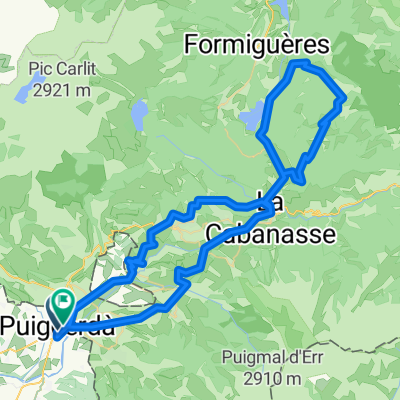
Cycling Route in Puigcerdà, Catalonia, Spain

Puigcerdà-Montferrer. Septiembre 2014.

0
Open this route in the Bikemap app

Open this route in the Bikemap app

Open this route in Bikemap Web

Open this route in Bikemap Web

93 km
Distance
1338 m
Ascent
1863 m
Descent
-:-- h
Duration
-- km/h
Avg. Speed
--- m
Max. Elevation

About This Route

Puigcerdà, Enveigt, Latour de Carol, Porté Puymorens, Pas de la Casa, Soldeu, CVanillo, Andorra la Vella, Montferrer.  

This cycling route is ideal for: City bike

You will cycle on the following surfaces: Paved

Customize this cycling route with the Bikemap route planner.

Make it yours!

Did you know? You can use this route as a template in our cycling route planner if you don't wish to start from scratch. Customize it based on your needs to plan your perfect cycling tour.

Open it in the app