

Tim und Stephi
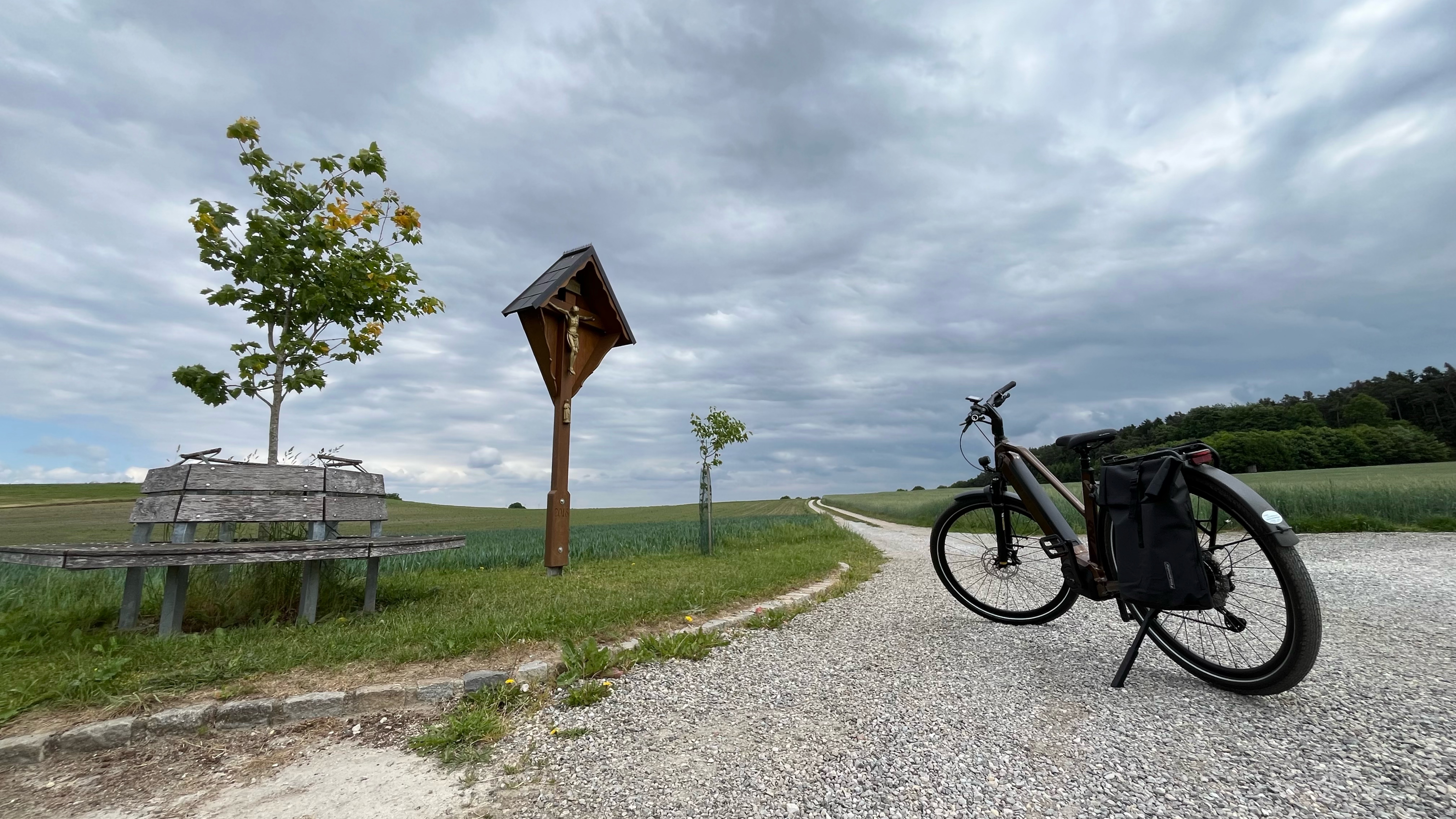
A cycling route starting in Hilgertshausen-Tandern, Bavaria, Germany.
Overview
About this route
- 2 h 12 min
- Duration
- 36.8 km
- Distance
- 212 m
- Ascent
- 292 m
- Descent
- 16.7 km/h
- Avg. speed
- ---
- Avg. speed

Route quality
Waytypes & surfaces along the route
Waytypes
Quiet road
12.2 km
(33 %)
Path
9.1 km
(25 %)
Surfaces
Paved
23.4 km
(64 %)
Unpaved
2.8 km
(8 %)
Asphalt
22.3 km
(61 %)
Gravel
2.5 km
(7 %)
Continue with Bikemap
Use, edit, or download this cycling route
You would like to ride Tim und Stephi or customize it for your own trip? Here is what you can do with this Bikemap route:
Free features
- Save this route as favorite or in collections
- Copy & plan your own version of this route
- Sync your route with Garmin or Wahoo
Premium features
Free trial for 3 days, or one-time payment. More about Bikemap Premium.
- Navigate this route on iOS & Android
- Export a GPX / KML file of this route
- Create your custom printout (try it for free)
- Download this route for offline navigation
Discover more Premium features.
Get Bikemap PremiumFrom our community
Other popular routes starting in Hilgertshausen-Tandern
 Oberdorf 7, Hilgertshausen-Tandern nach Herzog-Max-Straße 21L, Aichach
- Distance
- 12.4 km
- Ascent
- 22 m
- Descent
- 0 m
- Location
- Hilgertshausen-Tandern, Bavaria, Germany
 2021-06-13
- Distance
- 24.7 km
- Ascent
- 105 m
- Descent
- 107 m
- Location
- Hilgertshausen-Tandern, Bavaria, Germany
 Ilmtal-Kreut-Priel
- Distance
- 31.4 km
- Ascent
- 156 m
- Descent
- 153 m
- Location
- Hilgertshausen-Tandern, Bavaria, Germany
 Herrbachtal
- Distance
- 15.4 km
- Ascent
- 108 m
- Descent
- 110 m
- Location
- Hilgertshausen-Tandern, Bavaria, Germany
 J-J
J-J- Distance
- 10.4 km
- Ascent
- 68 m
- Descent
- 85 m
- Location
- Hilgertshausen-Tandern, Bavaria, Germany
 Weilachtal-Kemnat
- Distance
- 38.6 km
- Ascent
- 230 m
- Descent
- 221 m
- Location
- Hilgertshausen-Tandern, Bavaria, Germany
 Lohestraße 17, Jetzendorf nach Lohestraße 17, Jetzendorf
- Distance
- 20.2 km
- Ascent
- 179 m
- Descent
- 231 m
- Location
- Hilgertshausen-Tandern, Bavaria, Germany
 Freisinger Straße, Hilgertshausen-Tandern nach Freisinger Straße, Hilgertshausen-Tandern
- Distance
- 32 km
- Ascent
- 307 m
- Descent
- 309 m
- Location
- Hilgertshausen-Tandern, Bavaria, Germany
Open it in the app