Premium Badge Download on the App Store Get it on Google Play Turn-by-turn Navigation Offline Maps Bike Type Optimized Routing Premium Maps Custom Bike Computer Export Routes Route Previews Fall Detection Premium Support

Cycling Route in Saint-Jean-le-Blanc, Centre Region, France

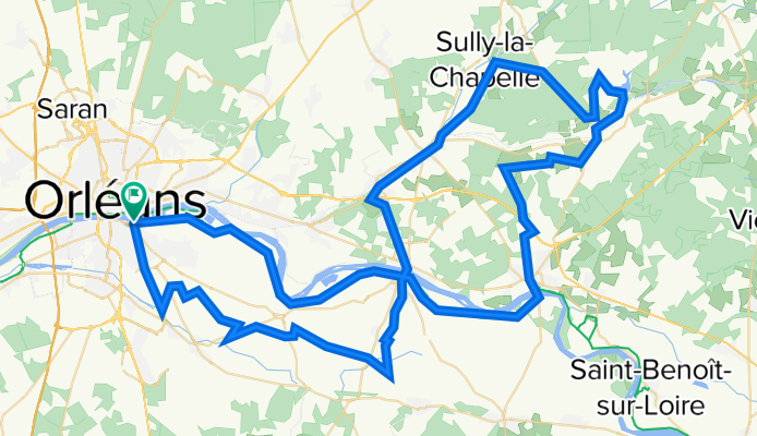
LOIRET- EST - papys CSA 103km

0
Open this route in the Bikemap app

Open this route in the Bikemap app

Open this route in Bikemap Web

Open this route in Bikemap Web

103 km
Distance
267 m
Ascent
266 m
Descent
-:-- h
Duration
-- km/h
Avg. Speed
139 m
Max. Elevation

About This Route

pont Thinat-levée jusqu'a chateauneuf-vitry-combreux-seichebriere-rte d'ingrannes-sully la chapelle-fay-donnery-st denis de l'hotel-jargeau-férolle-sandillon-rte des serres-rte du parc floral-piste cyclable

This cycling route is ideal for: Road bike

You will cycle on the following surfaces: Paved

Highlights Along The Route

Point of Interest

PAUSE KM47 ÉTANG COMBREUX

Customize this cycling route with the Bikemap route planner.

Make it yours!

Did you know? You can use this route as a template in our cycling route planner if you don't wish to start from scratch. Customize it based on your needs to plan your perfect cycling tour.

Open it in the app