
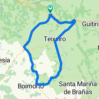
salgueirada gravelera
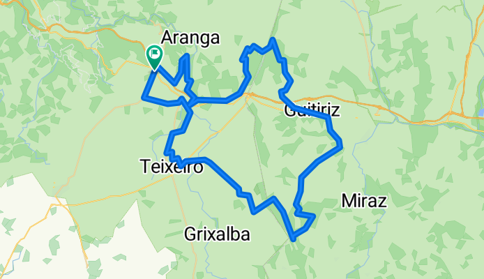
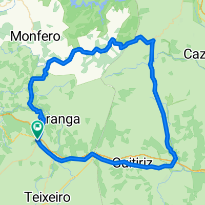
A cycling route starting in Aranga, Galicia, Spain.
Overview
About this route
Río Mandeo, Pena das cruces 723 M, Area San Xoan, ruta del agua Río Pardiñas, Cova da Serpe 836 m
- -:--
- Duration
- 79.7 km
- Distance
- 848 m
- Ascent
- 845 m
- Descent
- ---
- Avg. speed
- ---
- Avg. speed

Route quality
Waytypes & surfaces along the route
Waytypes
Quiet road
34.2 km
(43 %)
Track
28.6 km
(36 %)
Surfaces
Paved
3.5 km
(4 %)
Unpaved
2.8 km
(4 %)
Asphalt
2.6 km
(3 %)
Gravel
2.2 km
(3 %)
Continue with Bikemap
Use, edit, or download this cycling route
You would like to ride salgueirada gravelera or customize it for your own trip? Here is what you can do with this Bikemap route:
Free features
- Save this route as favorite or in collections
- Copy & plan your own version of this route
- Sync your route with Garmin or Wahoo
Premium features
Free trial for 3 days, or one-time payment. More about Bikemap Premium.
- Navigate this route on iOS & Android
- Export a GPX / KML file of this route
- Create your custom printout (try it for free)
- Download this route for offline navigation
Discover more Premium features.
Get Bikemap PremiumFrom our community
Other popular routes starting in Aranga
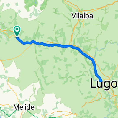 Montesalgueiro-Lugo-Montesalgueiro
- Distance
- 101.8 km
- Ascent
- 400 m
- Descent
- 400 m
- Location
- Aranga, Galicia, Spain
 quintenum brevet
- Distance
- 148.9 km
- Ascent
- 459 m
- Descent
- 460 m
- Location
- Aranga, Galicia, Spain
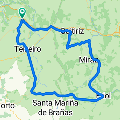
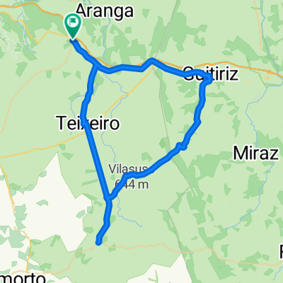 Guitiriz-As Cruces-Sobrado
- Distance
- 58.3 km
- Ascent
- 489 m
- Descent
- 489 m
- Location
- Aranga, Galicia, Spain
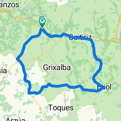
 Curtis-Corredoiras-Sobrado-Teixeiro
- Distance
- 66.2 km
- Ascent
- 514 m
- Descent
- 514 m
- Location
- Aranga, Galicia, Spain
 Montesalgueiro - Teixeiro - Sobrado - Friol - Parga - Guitiriz
- Distance
- 88.3 km
- Ascent
- 606 m
- Descent
- 607 m
- Location
- Aranga, Galicia, Spain
 propuesta salgueirada. Fervenza brañas, toques, santiso, portomouros
- Distance
- 130.8 km
- Ascent
- 1,015 m
- Descent
- 1,017 m
- Location
- Aranga, Galicia, Spain
 Montesalgueiro-Sobrado-Friol-Parga-Montesalgueiro
- Distance
- 102.9 km
- Ascent
- 661 m
- Descent
- 658 m
- Location
- Aranga, Galicia, Spain
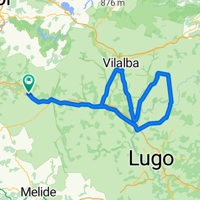
 Ruta de naya
- Distance
- 72.3 km
- Ascent
- 874 m
- Descent
- 874 m
- Location
- Aranga, Galicia, Spain
Open it in the app