

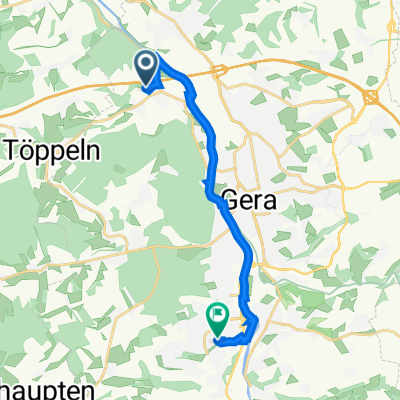
Rüdersdorf 75, Kraftsdorf nach Rüdersdorf 75, Kraftsdorf
A cycling route starting in Hartmannsdorf, Free State of Thuringia, Germany.
Overview
About this route
- 2 h 57 min
- Duration
- 69.9 km
- Distance
- 747 m
- Ascent
- 750 m
- Descent
- 23.7 km/h
- Avg. speed
- ---
- Avg. speed

Route quality
Waytypes & surfaces along the route
Waytypes
Road
21.3 km
(30 %)
Busy road
17 km
(24 %)
Surfaces
Paved
53.8 km
(77 %)
Unpaved
1.3 km
(2 %)
Asphalt
47.5 km
(68 %)
Paved (undefined)
5.9 km
(8 %)
Continue with Bikemap
Use, edit, or download this cycling route
You would like to ride Rüdersdorf 75, Kraftsdorf nach Rüdersdorf 75, Kraftsdorf or customize it for your own trip? Here is what you can do with this Bikemap route:
Free features
- Save this route as favorite or in collections
- Copy & plan your own version of this route
- Sync your route with Garmin or Wahoo
Premium features
Free trial for 3 days, or one-time payment. More about Bikemap Premium.
- Navigate this route on iOS & Android
- Export a GPX / KML file of this route
- Create your custom printout (try it for free)
- Download this route for offline navigation
Discover more Premium features.
Get Bikemap PremiumFrom our community
Other popular routes starting in Hartmannsdorf
 Erlbachweg 24, Gera nach Eichenstraße 20, Gera
- Distance
- 10.3 km
- Ascent
- 57 m
- Descent
- 58 m
- Location
- Hartmannsdorf, Free State of Thuringia, Germany
 Tesseteiche, Käseschenke
- Distance
- 17.7 km
- Ascent
- 194 m
- Descent
- 194 m
- Location
- Hartmannsdorf, Free State of Thuringia, Germany
 Erlbachweg 24, Gera nach Eichenstraße 22, Gera
- Distance
- 11.4 km
- Ascent
- 74 m
- Descent
- 61 m
- Location
- Hartmannsdorf, Free State of Thuringia, Germany
 Buga Lauf
- Distance
- 17 km
- Ascent
- 227 m
- Descent
- 176 m
- Location
- Hartmannsdorf, Free State of Thuringia, Germany
 Große Runde
- Distance
- 64.4 km
- Ascent
- 549 m
- Descent
- 549 m
- Location
- Hartmannsdorf, Free State of Thuringia, Germany
 Am Erlbach 2, Kraftsdorf nach Kaltenborn 24, Kraftsdorf
- Distance
- 5 km
- Ascent
- 92 m
- Descent
- 16 m
- Location
- Hartmannsdorf, Free State of Thuringia, Germany
 Burgenroute
- Distance
- 75.5 km
- Ascent
- 518 m
- Descent
- 518 m
- Location
- Hartmannsdorf, Free State of Thuringia, Germany
 Frankenthaler Straße 74, Gera nach Frankenthaler Straße 74, Gera
- Distance
- 48.9 km
- Ascent
- 504 m
- Descent
- 503 m
- Location
- Hartmannsdorf, Free State of Thuringia, Germany
Open it in the app