

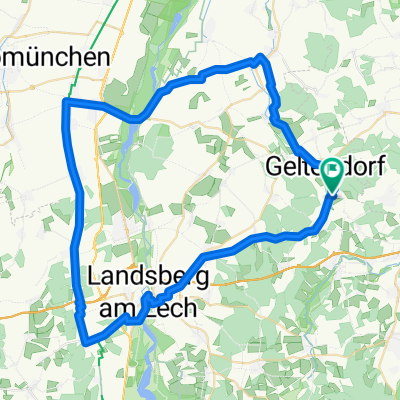
Paartal Radweg - Quelle-Mündung
A cycling route starting in Eresing, Bavaria, Germany.
Overview
About this route
Der Paartal-Radweg folgt dem Lauf des Flusses von der Quelle bei St. Ottilien (exakt km 9 bei Kaltenberg) unserer Tour. Die Quelle ist unscheinbar und nur zu Fuß erreichbar. Bis zur Mündung in die Donau verbindet der Radweg somit den Ammersee-Radweg mit dem Donau-Radweg. (Tourbeschreibung unter: thod_er@gmx.de
- -:--
- Duration
- 127.3 km
- Distance
- 0 m
- Ascent
- 0 m
- Descent
- ---
- Avg. speed
- 0 m
- Avg. speed
Route quality
Waytypes & surfaces along the route
Waytypes
Quiet road
49.2 km
(39 %)
Path
23.6 km
(19 %)
Surfaces
Paved
89.4 km
(70 %)
Unpaved
23.1 km
(18 %)
Asphalt
85.5 km
(67 %)
Gravel
13.1 km
(10 %)
Continue with Bikemap
Use, edit, or download this cycling route
You would like to ride Paartal Radweg - Quelle-Mündung or customize it for your own trip? Here is what you can do with this Bikemap route:
Free features
- Save this route as favorite or in collections
- Copy & plan your own version of this route
- Sync your route with Garmin or Wahoo
Premium features
Free trial for 3 days, or one-time payment. More about Bikemap Premium.
- Navigate this route on iOS & Android
- Export a GPX / KML file of this route
- Create your custom printout (try it for free)
- Download this route for offline navigation
Discover more Premium features.
Get Bikemap PremiumFrom our community
Other popular routes starting in Eresing
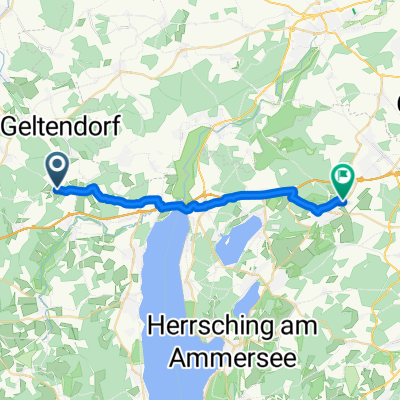
 Geltendorf-Hurlach
- Distance
- 66.1 km
- Ascent
- 419 m
- Descent
- 421 m
- Location
- Eresing, Bavaria, Germany
 St Ottilien Ammersee
- Distance
- 61.6 km
- Ascent
- 311 m
- Descent
- 310 m
- Location
- Eresing, Bavaria, Germany
 Rennrad 67 km
- Distance
- 67.6 km
- Ascent
- 228 m
- Descent
- 228 m
- Location
- Eresing, Bavaria, Germany
 Eresing-Wessling
- Distance
- 21.2 km
- Ascent
- 173 m
- Descent
- 174 m
- Location
- Eresing, Bavaria, Germany
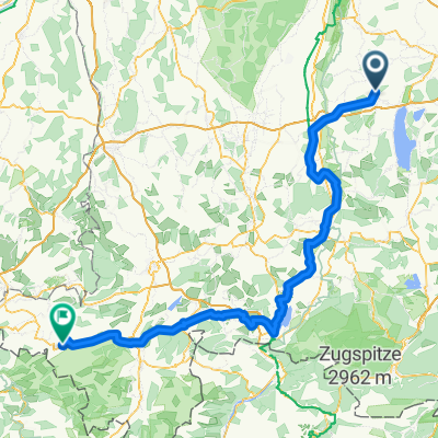 13.09.10 Geltendorf-Oberstaufen
- Distance
- 148.4 km
- Ascent
- 770 m
- Descent
- 583 m
- Location
- Eresing, Bavaria, Germany
 Geltendorf-Landsberg
- Distance
- 65.6 km
- Ascent
- 525 m
- Descent
- 524 m
- Location
- Eresing, Bavaria, Germany
 Ammerseerunde Hauptstraße 31, Eresing nach Landsberger Straße 64, Inning am Ammersee
- Distance
- 50.9 km
- Ascent
- 240 m
- Descent
- 289 m
- Location
- Eresing, Bavaria, Germany
 Von Eresing bis Füssen
- Distance
- 93.2 km
- Ascent
- 819 m
- Descent
- 613 m
- Location
- Eresing, Bavaria, Germany
Open it in the app