Premium Badge Download on the App Store Get it on Google Play Turn-by-turn Navigation Offline Maps Bike Type Optimized Routing Premium Maps Custom Bike Computer Export Routes Route Previews Fall Detection Premium Support

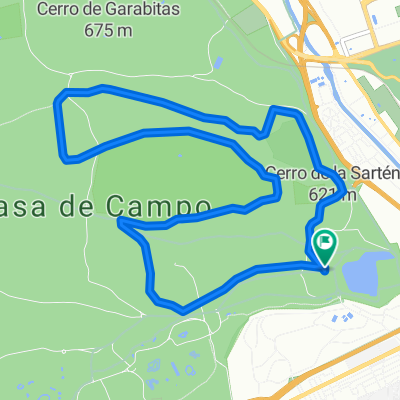
Cycling Route in Moncloa-Aravaca, Madrid, Spain

Encinar de Boadilla

0
Open this route in the Bikemap app

Open this route in the Bikemap app

Open this route in Bikemap Web

Open this route in Bikemap Web

38 km
Distance
325 m
Ascent
321 m
Descent
-:-- h
Duration
-- km/h
Avg. Speed
--- m
Max. Elevation

About This Route

It features an elevation gain of 333m over 38.17 km. Notable roads/trails that you'll be traveling on: Paseo de los Plátanos, Vía de las dos Castillas, M-503, Carretera de Pozuelo a Majadahonda, and Avenida Rey Juan Carlos I.

Customize this cycling route with the Bikemap route planner.

Make it yours!

Did you know? You can use this route as a template in our cycling route planner if you don't wish to start from scratch. Customize it based on your needs to plan your perfect cycling tour.

Open it in the app