
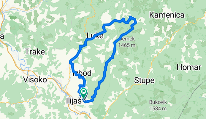
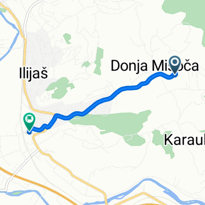
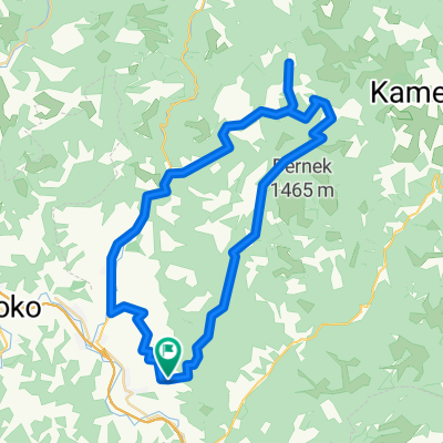
Misoca kanjnom
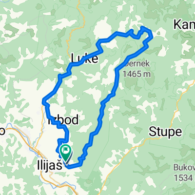
A cycling route starting in Ilijaš, Federation of Bosnia and Herzegovina, Bosnia and Herzegovina.
Overview
About this route
- -:--
- Duration
- 50.9 km
- Distance
- 797 m
- Ascent
- 777 m
- Descent
- ---
- Avg. speed
- ---
- Avg. speed

Route quality
Waytypes & surfaces along the route
Waytypes
Quiet road
35.5 km
(70 %)
Path
6.6 km
(13 %)
Surfaces
Paved
4.6 km
(9 %)
Unpaved
13.1 km
(26 %)
Gravel
13.1 km
(26 %)
Asphalt
4.6 km
(9 %)
Continue with Bikemap
Use, edit, or download this cycling route
You would like to ride Misoca kanjnom or customize it for your own trip? Here is what you can do with this Bikemap route:
Free features
- Save this route as favorite or in collections
- Copy & plan your own version of this route
- Sync your route with Garmin or Wahoo
Premium features
Free trial for 3 days, or one-time payment. More about Bikemap Premium.
- Navigate this route on iOS & Android
- Export a GPX / KML file of this route
- Create your custom printout (try it for free)
- Download this route for offline navigation
Discover more Premium features.
Get Bikemap PremiumFrom our community
Other popular routes starting in Ilijaš
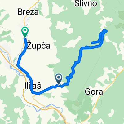
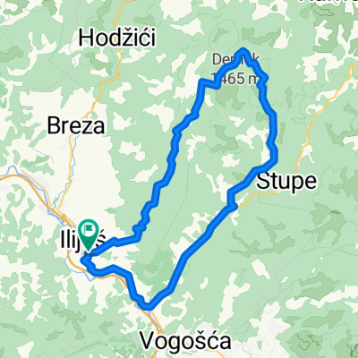 ilijas na drugu stranu
- Distance
- 47.4 km
- Ascent
- 875 m
- Descent
- 874 m
- Location
- Ilijaš, Federation of Bosnia and Herzegovina, Bosnia and Herzegovina
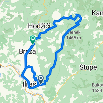
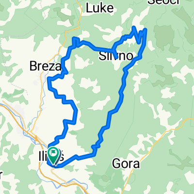 ilijas misoca ....
- Distance
- 42.8 km
- Ascent
- 793 m
- Descent
- 791 m
- Location
- Ilijaš, Federation of Bosnia and Herzegovina, Bosnia and Herzegovina
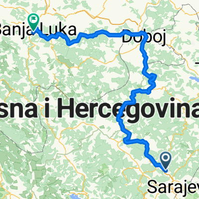 EISENBAHN IN BOSNIEN
- Distance
- 246.9 km
- Ascent
- 551 m
- Descent
- 831 m
- Location
- Ilijaš, Federation of Bosnia and Herzegovina, Bosnia and Herzegovina
 Misoca kanjnom
- Distance
- 50.9 km
- Ascent
- 797 m
- Descent
- 777 m
- Location
- Ilijaš, Federation of Bosnia and Herzegovina, Bosnia and Herzegovina
 potkraj--stari grad dubrovnik ilijas
- Distance
- 31.7 km
- Ascent
- 2,215 m
- Descent
- 2,241 m
- Location
- Ilijaš, Federation of Bosnia and Herzegovina, Bosnia and Herzegovina
 Unnamed Road to R444
- Distance
- 83.2 km
- Ascent
- 1,094 m
- Descent
- 1,084 m
- Location
- Ilijaš, Federation of Bosnia and Herzegovina, Bosnia and Herzegovina
 Unnamed Road to Stari Ilijaš A
- Distance
- 2.7 km
- Ascent
- 1 m
- Descent
- 23 m
- Location
- Ilijaš, Federation of Bosnia and Herzegovina, Bosnia and Herzegovina
 Misoča - Okruglica - Karići - Dabravine - Breza - Mrakovo - Misoča
- Distance
- 57.4 km
- Ascent
- 874 m
- Descent
- 874 m
- Location
- Ilijaš, Federation of Bosnia and Herzegovina, Bosnia and Herzegovina
Open it in the app