

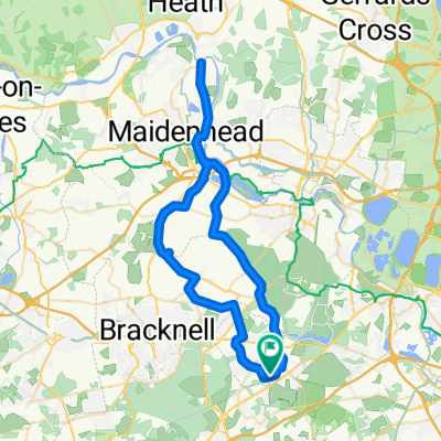
BfCiC Sunningdale- Waterloo Mar 10
A cycling route starting in Sunningdale, England, United Kingdom.
Overview
About this route
- -:--
- Duration
- 69 km
- Distance
- 70 m
- Ascent
- 119 m
- Descent
- ---
- Avg. speed
- ---
- Avg. speed

Route quality
Waytypes & surfaces along the route
Waytypes
Cycleway
19.6 km
(28 %)
Busy road
13.8 km
(20 %)
Surfaces
Paved
50.3 km
(73 %)
Unpaved
7.3 km
(11 %)
Asphalt
44.5 km
(64 %)
Gravel
6.5 km
(9 %)
Continue with Bikemap
Use, edit, or download this cycling route
You would like to ride BfCiC Sunningdale- Waterloo Mar 10 or customize it for your own trip? Here is what you can do with this Bikemap route:
Free features
- Save this route as favorite or in collections
- Copy & plan your own version of this route
- Sync your route with Garmin or Wahoo
Premium features
Free trial for 3 days, or one-time payment. More about Bikemap Premium.
- Navigate this route on iOS & Android
- Export a GPX / KML file of this route
- Create your custom printout (try it for free)
- Download this route for offline navigation
Discover more Premium features.
Get Bikemap PremiumFrom our community
Other popular routes starting in Sunningdale
 Sunning Avenue 20, Sunningdale to Sunning Avenue 20, Sunningdale
- Distance
- 51.7 km
- Ascent
- 211 m
- Descent
- 208 m
- Location
- Sunningdale, England, United Kingdom
 Blacknest to Blacknest
- Distance
- 14.9 km
- Ascent
- 147 m
- Descent
- 144 m
- Location
- Sunningdale, England, United Kingdom
 Great Windsor Park
- Distance
- 16.2 km
- Ascent
- 137 m
- Descent
- 137 m
- Location
- Sunningdale, England, United Kingdom
 Circuito Olimpico Londra 1948
- Distance
- 11.4 km
- Ascent
- 99 m
- Descent
- 96 m
- Location
- Sunningdale, England, United Kingdom
 маршрут с Barons Wood, West Drive, Аскот
- Distance
- 87.4 km
- Ascent
- 958 m
- Descent
- 1,032 m
- Location
- Sunningdale, England, United Kingdom
 Fairoaks loop from Nicks
- Distance
- 22.6 km
- Ascent
- 136 m
- Descent
- 138 m
- Location
- Sunningdale, England, United Kingdom
 NCR4 to pleasure gardens (walked descent/Egham bypass)
- Distance
- 12 km
- Ascent
- 88 m
- Descent
- 127 m
- Location
- Sunningdale, England, United Kingdom
 Gravel 3 rivers loop
- Distance
- 44.5 km
- Ascent
- 120 m
- Descent
- 119 m
- Location
- Sunningdale, England, United Kingdom
Open it in the app