
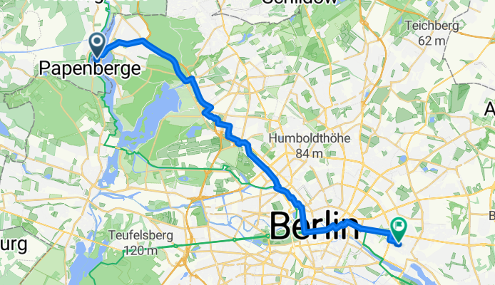
Straße 368 9, Berlin nach Boxhagener Platz, Berlin
A cycling route starting in Konradshöhe, Land Berlin, Germany.
Overview
About this route
- 1 h 39 min
- Duration
- 27.1 km
- Distance
- 144 m
- Ascent
- 136 m
- Descent
- 16.4 km/h
- Avg. speed
- ---
- Avg. speed
Route quality
Waytypes & surfaces along the route
Waytypes
Quiet road
10.2 km
(38 %)
Road
6.3 km
(23 %)
Surfaces
Paved
24.9 km
(92 %)
Asphalt
22 km
(81 %)
Concrete
1.5 km
(5 %)
Continue with Bikemap
Use, edit, or download this cycling route
You would like to ride Straße 368 9, Berlin nach Boxhagener Platz, Berlin or customize it for your own trip? Here is what you can do with this Bikemap route:
Free features
- Save this route as favorite or in collections
- Copy & plan your own version of this route
- Sync your route with Garmin or Wahoo
Premium features
Free trial for 3 days, or one-time payment. More about Bikemap Premium.
- Navigate this route on iOS & Android
- Export a GPX / KML file of this route
- Create your custom printout (try it for free)
- Download this route for offline navigation
Discover more Premium features.
Get Bikemap PremiumFrom our community
Other popular routes starting in Konradshöhe
 Samstag
- Distance
- 30.9 km
- Ascent
- 161 m
- Descent
- 145 m
- Location
- Konradshöhe, Land Berlin, Germany
 44km Training
- Distance
- 44.7 km
- Ascent
- 214 m
- Descent
- 216 m
- Location
- Konradshöhe, Land Berlin, Germany
 Spechtstraße 8, Berlin nach Turmfalkenstraße 41, Berlin
- Distance
- 30.7 km
- Ascent
- 516 m
- Descent
- 557 m
- Location
- Konradshöhe, Land Berlin, Germany
 tegelort wald
- Distance
- 3.8 km
- Ascent
- 57 m
- Descent
- 57 m
- Location
- Konradshöhe, Land Berlin, Germany
 D - Berlin-Werbellinsee
- Distance
- 196.7 km
- Ascent
- 282 m
- Descent
- 282 m
- Location
- Konradshöhe, Land Berlin, Germany
 wannseetour
- Distance
- 63.7 km
- Ascent
- 230 m
- Descent
- 232 m
- Location
- Konradshöhe, Land Berlin, Germany
 Havelkanalrunde 30km
- Distance
- 29 km
- Ascent
- 32 m
- Descent
- 24 m
- Location
- Konradshöhe, Land Berlin, Germany
 Tegeler Forst - Stolpe
- Distance
- 37.9 km
- Ascent
- 97 m
- Descent
- 98 m
- Location
- Konradshöhe, Land Berlin, Germany
Open it in the app