

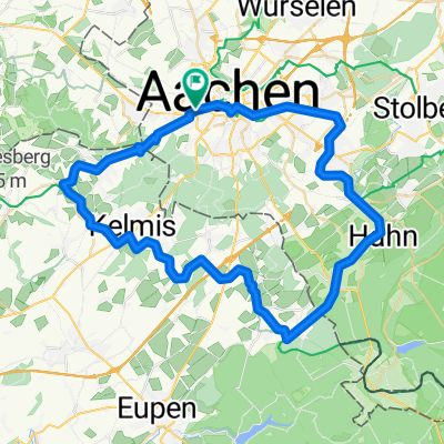
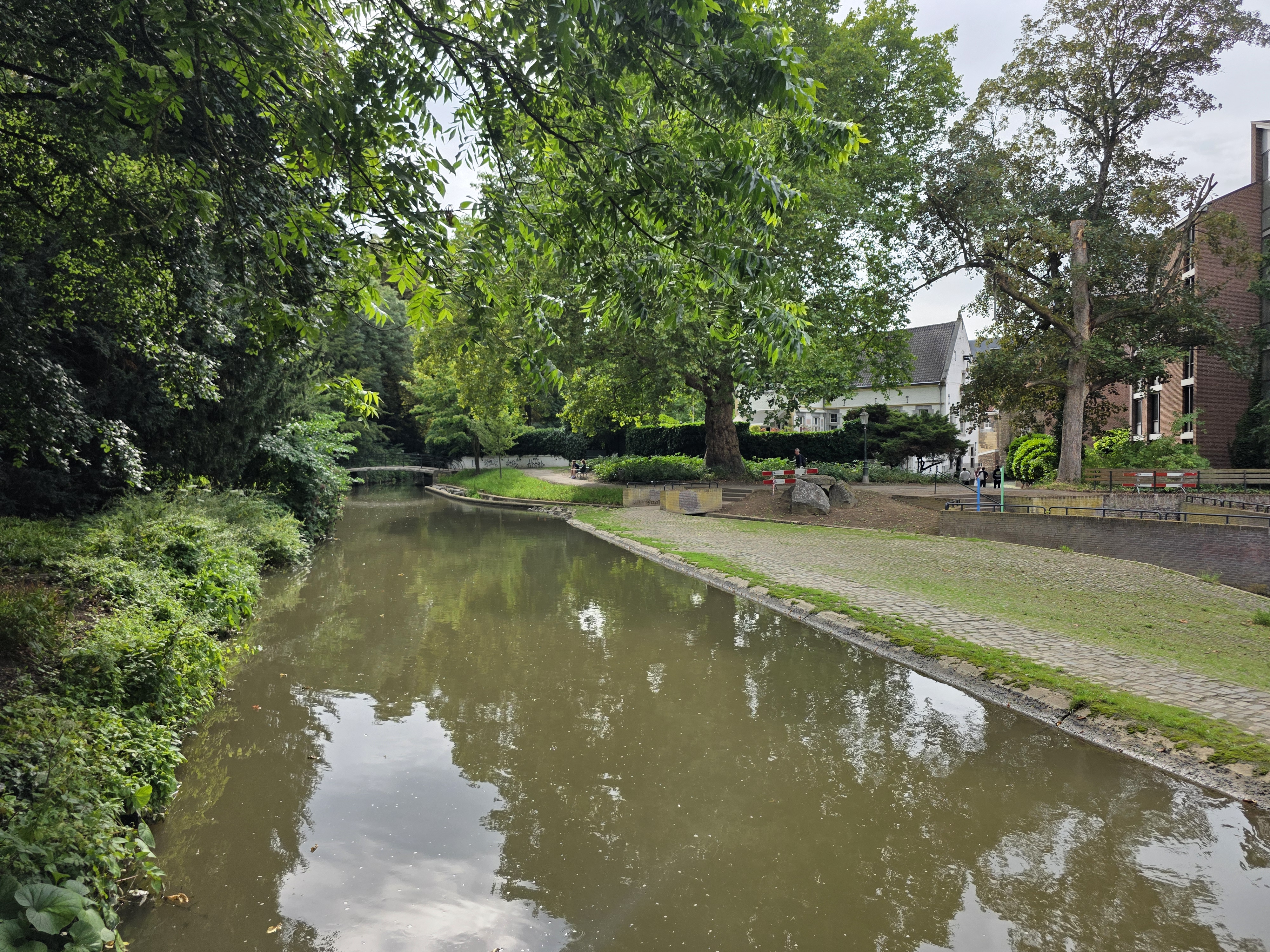
27 09 08 Runde Wehebach Stausee
A cycling route starting in Aachen, North Rhine-Westphalia, Germany.
Overview
About this route
- -:--
- Duration
- 53 km
- Distance
- 613 m
- Ascent
- 577 m
- Descent
- ---
- Avg. speed
- 294 m
- Max. altitude
Route quality
Waytypes & surfaces along the route
Waytypes
Quiet road
18.6 km
(35 %)
Path
6.9 km
(13 %)
Surfaces
Paved
44.6 km
(84 %)
Unpaved
3.2 km
(6 %)
Asphalt
44.6 km
(84 %)
Gravel
1.6 km
(3 %)
Continue with Bikemap
Use, edit, or download this cycling route
You would like to ride 27 09 08 Runde Wehebach Stausee or customize it for your own trip? Here is what you can do with this Bikemap route:
Free features
- Save this route as favorite or in collections
- Copy & plan your own version of this route
- Sync your route with Garmin or Wahoo
Premium features
Free trial for 3 days, or one-time payment. More about Bikemap Premium.
- Navigate this route on iOS & Android
- Export a GPX / KML file of this route
- Create your custom printout (try it for free)
- Download this route for offline navigation
Discover more Premium features.
Get Bikemap PremiumFrom our community
Other popular routes starting in Aachen
 -II- Aachen - Botz - Aachen
- Distance
- 54.9 km
- Ascent
- 633 m
- Descent
- 627 m
- Location
- Aachen, North Rhine-Westphalia, Germany
 drielandenpunt
- Distance
- 41 km
- Ascent
- 520 m
- Descent
- 520 m
- Location
- Aachen, North Rhine-Westphalia, Germany
 Aachen - Maastricht - Aachen (E-Bike)
- Distance
- 82.9 km
- Ascent
- 518 m
- Descent
- 557 m
- Location
- Aachen, North Rhine-Westphalia, Germany
 Ronde Voerstreek
- Distance
- 67.6 km
- Ascent
- 1,082 m
- Descent
- 1,006 m
- Location
- Aachen, North Rhine-Westphalia, Germany
 Rund um Aubel
- Distance
- 57.5 km
- Ascent
- 622 m
- Descent
- 622 m
- Location
- Aachen, North Rhine-Westphalia, Germany
 Wesertalsperre
- Distance
- 58.5 km
- Ascent
- 605 m
- Descent
- 590 m
- Location
- Aachen, North Rhine-Westphalia, Germany
 AC - Blausteinsee - Düren - Schevenhütte - AC
- Distance
- 78.3 km
- Ascent
- 437 m
- Descent
- 437 m
- Location
- Aachen, North Rhine-Westphalia, Germany
 Hangeweiher - Kerkrade Cranenweyer - Hangeweiher (similar to the route by ) (E-MTB)
- Distance
- 54 km
- Ascent
- 387 m
- Descent
- 431 m
- Location
- Aachen, North Rhine-Westphalia, Germany
Open it in the app