
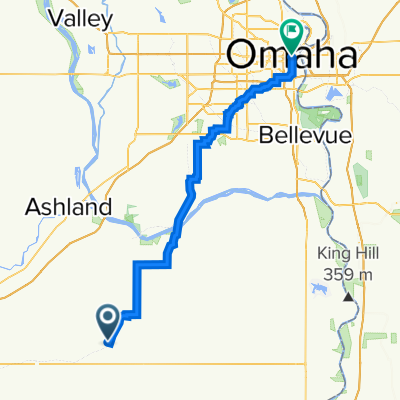
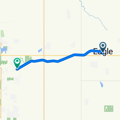
Moderate route in Omaha
A cycling route starting in Eagle, Nebraska, United States of America.
Overview
About this route
- 1 h 14 min
- Duration
- 13.8 km
- Distance
- 1,680 m
- Ascent
- 1,679 m
- Descent
- 11.1 km/h
- Avg. speed
- ---
- Avg. speed
Route quality
Waytypes & surfaces along the route
Waytypes
Cycleway
12.5 km
(91 %)
Busy road
0.5 km
(3 %)
Surfaces
Unpaved
12.4 km
(90 %)
Unpaved (undefined)
12.1 km
(88 %)
Gravel
0.3 km
(2 %)
Undefined
1.4 km
(10 %)
Continue with Bikemap
Use, edit, or download this cycling route
You would like to ride Moderate route in Omaha or customize it for your own trip? Here is what you can do with this Bikemap route:
Free features
- Save this route as favorite or in collections
- Copy & plan your own version of this route
- Sync your route with Garmin or Wahoo
Premium features
Free trial for 3 days, or one-time payment. More about Bikemap Premium.
- Navigate this route on iOS & Android
- Export a GPX / KML file of this route
- Create your custom printout (try it for free)
- Download this route for offline navigation
Discover more Premium features.
Get Bikemap PremiumFrom our community
Other popular routes starting in Eagle
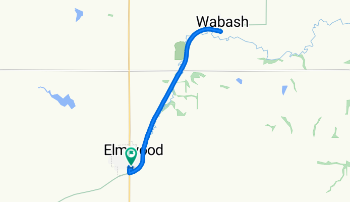
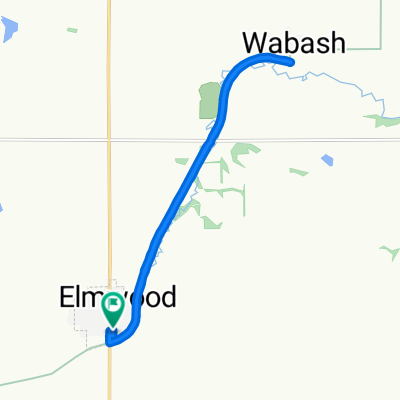
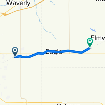
 Nebraska Gap6: Elmwood to Omaha
- Distance
- 70.8 km
- Ascent
- 601 m
- Descent
- 651 m
- Location
- Eagle, Nebraska, United States of America
 Lincoln to 807 Sage Cir, Lincoln
- Distance
- 14.9 km
- Ascent
- 113 m
- Descent
- 113 m
- Location
- Eagle, Nebraska, United States of America
 Moderate route in Omaha
- Distance
- 13.8 km
- Ascent
- 1,680 m
- Descent
- 1,679 m
- Location
- Eagle, Nebraska, United States of America
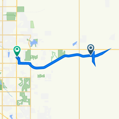
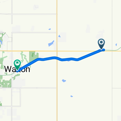
 600–624 S Fourth St, Eagle to 1621 S 118th St, Walton
- Distance
- 12.1 km
- Ascent
- 41 m
- Descent
- 83 m
- Location
- Eagle, Nebraska, United States of America
 18150–18998 O St, Eagle to 1621 S 118th St, Walton
- Distance
- 8.3 km
- Ascent
- 36 m
- Descent
- 74 m
- Location
- Eagle, Nebraska, United States of America
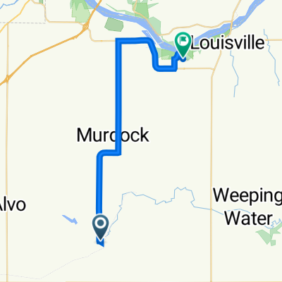 Recovered Route
- Distance
- 27.7 km
- Ascent
- 214 m
- Descent
- 278 m
- Location
- Eagle, Nebraska, United States of America
 Recovered Route
- Distance
- 18.2 km
- Ascent
- 89 m
- Descent
- 55 m
- Location
- Eagle, Nebraska, United States of America
Open it in the app