Premium Badge Download on the App Store Get it on Google Play Turn-by-turn Navigation Offline Maps Bike Type Optimized Routing Premium Maps Custom Bike Computer Export Routes Route Previews Fall Detection Premium Support

Cycling Route in Okazaki, Aichi, Japan

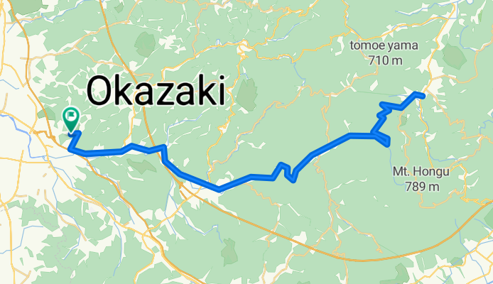
岡崎中央総合公園~くらがり渓谷~つくで手作り村

1
Open this route in the Bikemap app

Open this route in the Bikemap app

Open this route in Bikemap Web

Open this route in Bikemap Web

62 km
Distance
684 m
Ascent
689 m
Descent
-:-- h
Duration
-- km/h
Avg. Speed
--- m
Max. Elevation

About This Route

片道31kmを往復、計62km

【往路】ゆるやかな上り基調。くらがり渓谷がキツめでやや長い(6km)が、上り切った達成感は大きい。上りの途中で疲れたら、連れに後ろから押してもらうか、先導者の服を無理やり掴めば引っ張ってもらえます。

【復路】くらがりの下り坂はアドレナリン大放出。膝に空き缶くくり付けて、火花飛ばしながら膝すりできるレベル。やらないけど。中盤以降はゆるやかな下りなので流して走行。

【その他】つくで手作り村のジャンボフランクが名物。消費カロリーがあっけなくチャラに。

【総括】初心者は走り切ったら自慢してもいいコース。

This cycling route is ideal for: Road bike MTB

You will cycle on the following surfaces: Paved

Customize this cycling route with the Bikemap route planner.

Make it yours!

Did you know? You can use this route as a template in our cycling route planner if you don't wish to start from scratch. Customize it based on your needs to plan your perfect cycling tour.

Open it in the app