Premium Badge Download on the App Store Get it on Google Play Turn-by-turn Navigation Offline Maps Bike Type Optimized Routing Premium Maps Custom Bike Computer Export Routes Route Previews Fall Detection Premium Support

Cycling Route in Oensingen, Canton of Solothurn, Switzerland

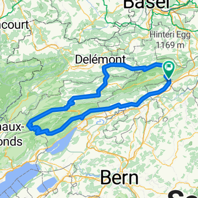
Oensingen-Hälfenbergflue-Usserberg

0
Open this route in the Bikemap app

Open this route in the Bikemap app

Open this route in Bikemap Web

Open this route in Bikemap Web

49 km
Distance
1052 m
Ascent
1053 m
Descent
-:-- h
Duration
-- km/h
Avg. Speed
1062 m
Max. Elevation

About This Route

This cycling route is ideal for: Road bike

You will cycle on the following surfaces: Paved

This route is based on Oensingen-Hälfenbergflue .

Customize this cycling route with the Bikemap route planner.

Make it yours!

Did you know? You can use this route as a template in our cycling route planner if you don't wish to start from scratch. Customize it based on your needs to plan your perfect cycling tour.

Open it in the app