
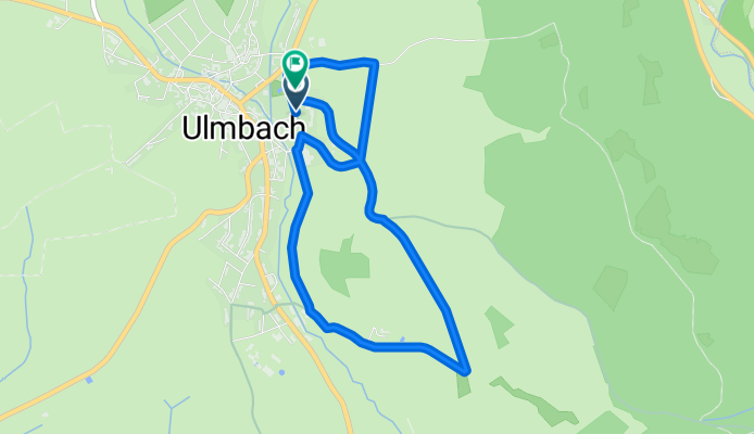
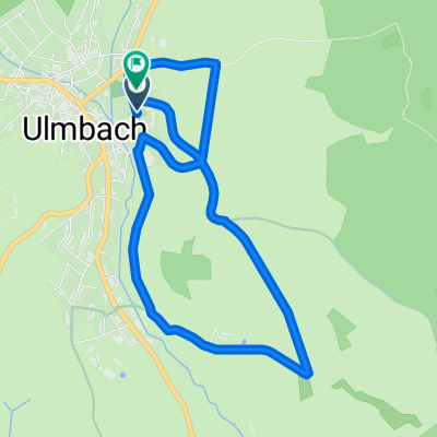
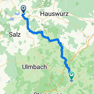
HRVM Alternative 5 Ulmbach kurz
A cycling route starting in Freiensteinau, Hesse, Germany.
Overview
About this route
- -:--
- Duration
- 5.2 km
- Distance
- 68 m
- Ascent
- 65 m
- Descent
- ---
- Avg. speed
- 417 m
- Avg. speed
Route quality
Waytypes & surfaces along the route
Waytypes
Track
3.1 km
(60 %)
Quiet road
1.6 km
(31 %)
Access road
0.5 km
(9 %)
Surfaces
Paved
4.7 km
(90 %)
Unpaved
0.1 km
(3 %)
Asphalt
4.2 km
(81 %)
Paved (undefined)
0.5 km
(9 %)
Continue with Bikemap
Use, edit, or download this cycling route
You would like to ride HRVM Alternative 5 Ulmbach kurz or customize it for your own trip? Here is what you can do with this Bikemap route:
Free features
- Save this route as favorite or in collections
- Copy & plan your own version of this route
- Sync your route with Garmin or Wahoo
Premium features
Free trial for 3 days, or one-time payment. More about Bikemap Premium.
- Navigate this route on iOS & Android
- Export a GPX / KML file of this route
- Create your custom printout (try it for free)
- Download this route for offline navigation
Discover more Premium features.
Get Bikemap PremiumFrom our community
Other popular routes starting in Freiensteinau
 HRVM Alternative 5 Ulmbach kurz
- Distance
- 5.2 km
- Ascent
- 68 m
- Descent
- 65 m
- Location
- Freiensteinau, Hesse, Germany
 Bergwinkel-Giro 2020 159 km-Strecke ab Ulmbach bis zum Ziel Steinau (nur Landstraße)
- Distance
- 59.6 km
- Ascent
- 617 m
- Descent
- 822 m
- Location
- Freiensteinau, Hesse, Germany
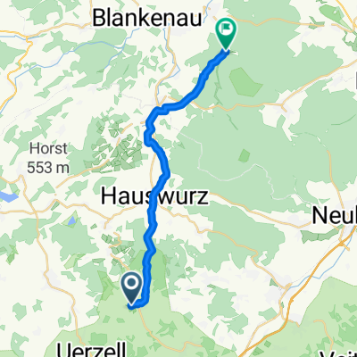
 HRVM Alternative 3
- Distance
- 10.4 km
- Ascent
- 128 m
- Descent
- 128 m
- Location
- Freiensteinau, Hesse, Germany
 Von Niedermoos nach Schlüchtern
- Distance
- 22.7 km
- Ascent
- 285 m
- Descent
- 572 m
- Location
- Freiensteinau, Hesse, Germany
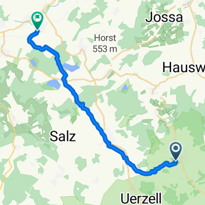
 Hessenmühle
- Distance
- 17.1 km
- Ascent
- 350 m
- Descent
- 414 m
- Location
- Freiensteinau, Hesse, Germany
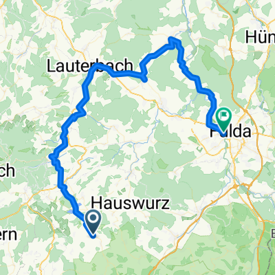 2.Etappe Freiensteinau - Fulda
- Distance
- 72.1 km
- Ascent
- 405 m
- Descent
- 586 m
- Location
- Freiensteinau, Hesse, Germany
 Seen-Tour
- Distance
- 15.3 km
- Ascent
- 289 m
- Descent
- 198 m
- Location
- Freiensteinau, Hesse, Germany
 Rhönrunde
- Distance
- 446.6 km
- Ascent
- 3,831 m
- Descent
- 3,828 m
- Location
- Freiensteinau, Hesse, Germany
Open it in the app