

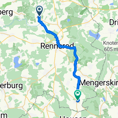
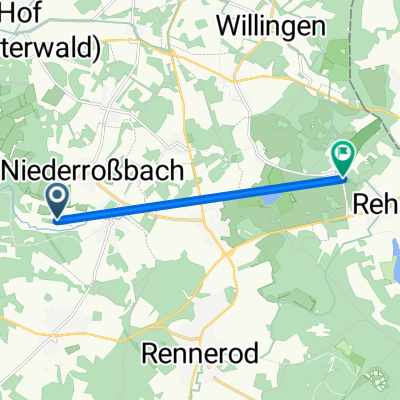
Ringstraße 13, Niederroßbach nach An der Krombachtalsperre 3, Driedorf
A cycling route starting in Oberroßbach, Rhineland-Palatinate, Germany.
Overview
About this route
- 45 min
- Duration
- 12.4 km
- Distance
- 224 m
- Ascent
- 198 m
- Descent
- 16.7 km/h
- Avg. speed
- ---
- Avg. speed

Route quality
Waytypes & surfaces along the route
Waytypes
Track
4.2 km
(34 %)
Quiet road
4 km
(32 %)
Surfaces
Paved
5.4 km
(43 %)
Unpaved
2.5 km
(20 %)
Asphalt
4.8 km
(39 %)
Gravel
1.2 km
(10 %)
Continue with Bikemap
Use, edit, or download this cycling route
You would like to ride Ringstraße 13, Niederroßbach nach An der Krombachtalsperre 3, Driedorf or customize it for your own trip? Here is what you can do with this Bikemap route:
Free features
- Save this route as favorite or in collections
- Copy & plan your own version of this route
- Sync your route with Garmin or Wahoo
Premium features
Free trial for 3 days, or one-time payment. More about Bikemap Premium.
- Navigate this route on iOS & Android
- Export a GPX / KML file of this route
- Create your custom printout (try it for free)
- Download this route for offline navigation
Discover more Premium features.
Get Bikemap PremiumFrom our community
Other popular routes starting in Oberroßbach
 Hausstrecke
- Distance
- 23.4 km
- Ascent
- 187 m
- Descent
- 204 m
- Location
- Oberroßbach, Rhineland-Palatinate, Germany
 Niederroßbach - Neunkirchen
- Distance
- 15.2 km
- Ascent
- 132 m
- Descent
- 302 m
- Location
- Oberroßbach, Rhineland-Palatinate, Germany
 Unnamed Road, Niederroßbach nach Hauptstraße 8, Homberg
- Distance
- 6 km
- Ascent
- 0 m
- Descent
- 0 m
- Location
- Oberroßbach, Rhineland-Palatinate, Germany
 Rund Tour Sonntag mit Dirk 9.00Uhr
- Distance
- 58.1 km
- Ascent
- 865 m
- Descent
- 866 m
- Location
- Oberroßbach, Rhineland-Palatinate, Germany
 Ringstraße 13, Niederroßbach nach An der Krombachtalsperre 3, Driedorf
- Distance
- 12.4 km
- Ascent
- 224 m
- Descent
- 198 m
- Location
- Oberroßbach, Rhineland-Palatinate, Germany
 Hausroute
- Distance
- 28.5 km
- Ascent
- 338 m
- Descent
- 338 m
- Location
- Oberroßbach, Rhineland-Palatinate, Germany
 Talweg 8, Niederroßbach nach Im Kochbrunnen 26, Rosenheim (Landkreis Altenkirchen)
- Distance
- 20.3 km
- Ascent
- 269 m
- Descent
- 343 m
- Location
- Oberroßbach, Rhineland-Palatinate, Germany
 Tannenweg 1, Niederroßbach nach Steinern-Kreuz-Weg 46, Wiesbaden
- Distance
- 93.9 km
- Ascent
- 877 m
- Descent
- 1,284 m
- Location
- Oberroßbach, Rhineland-Palatinate, Germany
Open it in the app