
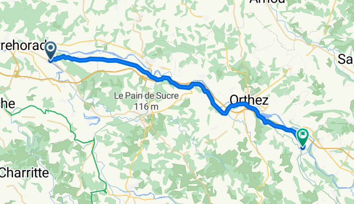
De 165 Rue Juzan, Sorde-l'Abbaye à Rue de l'Église, Maslacq
A cycling route starting in Peyrehorade, Aquitaine-Limousin-Poitou-Charentes, France.
Overview
About this route
- 2 h 21 min
- Duration
- 36.6 km
- Distance
- 212 m
- Ascent
- 146 m
- Descent
- 15.6 km/h
- Avg. speed
- 94 m
- Avg. speed
Route quality
Waytypes & surfaces along the route
Waytypes
Road
24.7 km
(67 %)
Quiet road
8.6 km
(23 %)
Surfaces
Paved
19 km
(52 %)
Asphalt
19 km
(52 %)
Undefined
17.7 km
(48 %)
Continue with Bikemap
Use, edit, or download this cycling route
You would like to ride De 165 Rue Juzan, Sorde-l'Abbaye à Rue de l'Église, Maslacq or customize it for your own trip? Here is what you can do with this Bikemap route:
Free features
- Save this route as favorite or in collections
- Copy & plan your own version of this route
- Sync your route with Garmin or Wahoo
Premium features
Free trial for 3 days, or one-time payment. More about Bikemap Premium.
- Navigate this route on iOS & Android
- Export a GPX / KML file of this route
- Create your custom printout (try it for free)
- Download this route for offline navigation
Discover more Premium features.
Get Bikemap PremiumFrom our community
Other popular routes starting in Peyrehorade
 tour de Peyrehorade
- Distance
- 14.9 km
- Ascent
- 139 m
- Descent
- 139 m
- Location
- Peyrehorade, Aquitaine-Limousin-Poitou-Charentes, France
 PEYREHODADE - BAYONE
- Distance
- 40.3 km
- Ascent
- 208 m
- Descent
- 197 m
- Location
- Peyrehorade, Aquitaine-Limousin-Poitou-Charentes, France
 Etape 12-bis Port-de-Lanne - Saint-Palais
- Distance
- 40 km
- Ascent
- 504 m
- Descent
- 481 m
- Location
- Peyrehorade, Aquitaine-Limousin-Poitou-Charentes, France
 17 Tag Port-de-Lanne - Saint-jean-Pied-de-Port
- Distance
- 72.1 km
- Ascent
- 621 m
- Descent
- 479 m
- Location
- Peyrehorade, Aquitaine-Limousin-Poitou-Charentes, France
 20150819_103356.gpx
- Distance
- 68.8 km
- Ascent
- 328 m
- Descent
- 331 m
- Location
- Peyrehorade, Aquitaine-Limousin-Poitou-Charentes, France
 Peyrehorade- San Sebastian
- Distance
- 92.6 km
- Ascent
- 338 m
- Descent
- 374 m
- Location
- Peyrehorade, Aquitaine-Limousin-Poitou-Charentes, France
 1–7 Rue Lamouliatte, Orthevielle to 78 Rue du Général de Gaulle, Capbreton
- Distance
- 32.4 km
- Ascent
- 186 m
- Descent
- 204 m
- Location
- Peyrehorade, Aquitaine-Limousin-Poitou-Charentes, France
 De 165 Rue Juzan, Sorde-l'Abbaye à Rue de l'Église, Maslacq
- Distance
- 36.6 km
- Ascent
- 212 m
- Descent
- 146 m
- Location
- Peyrehorade, Aquitaine-Limousin-Poitou-Charentes, France
Open it in the app