

הר גמל
A cycling route starting in Judeida Makr, Northern District, Israel.
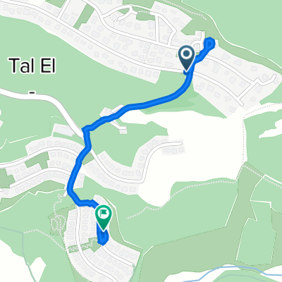
Overview
About this route
- -:--
- Duration
- 29.8 km
- Distance
- 593 m
- Ascent
- 593 m
- Descent
- ---
- Avg. speed
- ---
- Avg. speed

Continue with Bikemap
Use, edit, or download this cycling route
You would like to ride הר גמל or customize it for your own trip? Here is what you can do with this Bikemap route:
Free features
- Save this route as favorite or in collections
- Copy & plan your own version of this route
- Sync your route with Garmin or Wahoo
Premium features
Free trial for 3 days, or one-time payment. More about Bikemap Premium.
- Navigate this route on iOS & Android
- Export a GPX / KML file of this route
- Create your custom printout (try it for free)
- Download this route for offline navigation
Discover more Premium features.
Get Bikemap PremiumFrom our community
Other popular routes starting in Judeida Makr
 יסעור-כמון-ערבה
- Distance
- 65.1 km
- Ascent
- 915 m
- Descent
- 918 m
- Location
- Judeida Makr, Northern District, Israel
 טלאל זיכרון יום 1
- Distance
- 70.8 km
- Ascent
- 477 m
- Descent
- 390 m
- Location
- Judeida Makr, Northern District, Israel
 יסעור-אחיהוד-כרמיאל-הררית-מצפה אביב
- Distance
- 72.1 km
- Ascent
- 1,092 m
- Descent
- 1,099 m
- Location
- Judeida Makr, Northern District, Israel
 ישראל to 70
- Distance
- 15.6 km
- Ascent
- 232 m
- Descent
- 249 m
- Location
- Judeida Makr, Northern District, Israel
 יסעור - משגב - הררית
- Distance
- 60.9 km
- Ascent
- 812 m
- Descent
- 818 m
- Location
- Judeida Makr, Northern District, Israel
 יסעור-כרמיאל-כמון
- Distance
- 80.6 km
- Ascent
- 986 m
- Descent
- 992 m
- Location
- Judeida Makr, Northern District, Israel
 הברוש/הרימון, טל אל to החצב 591, טל אל
- Distance
- 1.2 km
- Ascent
- 12 m
- Descent
- 30 m
- Location
- Judeida Makr, Northern District, Israel
 EPIC1920
- Distance
- 39.4 km
- Ascent
- 601 m
- Descent
- 599 m
- Location
- Judeida Makr, Northern District, Israel
Open it in the app